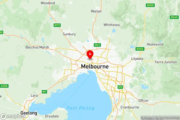
Essendon Suburbs & Region, Essendon Map & Postcodes
Essendon Suburbs & Region, Essendon Map & Postcodes in Essendon, Melbourne Inner, VIC, AU
Essendon Region
Region Name
Essendon (VIC, AU)Essendon Area
18.21 square kilometers (18.21 ㎢)Postal Codes
3039, and 3055 (In total, there are 2 postcodes in Essendon.)Essendon Introduction
Essendon is a suburb of Melbourne, Victoria, Australia, 6 km north-west of Melbourne's central business district. It is represented by the City of Moreland local government area. The post office opened as Essendon on 1 August 1853 and was closed on 1 October 1971. The suburb was named after the Essendon Football Club. The suburb has a rich football history, with the Essendon Football Club being one of the most successful in the Australian Football League (AFL). The club has won 16 premierships, including eight in a row from 1924 to 1931. The Essendon Football Club is also famous for its famous "bomb" which is a long kick down the middle of the ground. Essendon is also home to a number of significant cultural institutions, including the Essendon Arts Centre and the Essendon Football Club Museum. The suburb is well-serviced by public transport, with the Essendon railway station located on the Craigieburn line. The suburb is also home to a number of parks and reserves, including the Essendon Park and the Maribyrnong River Reserve.Australia State
City or Big Region
District or Regional Area
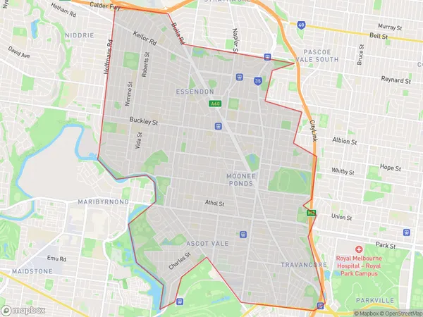
Essendon Region Map

Essendon Postcodes / Zip Codes
Essendon Suburbs
Brunswick West
Essendon (West) Aberfeldie
Essendon East
Essendon full address
Essendon, Melbourne Inner, Victoria, VIC, Australia, SaCode: 20603Country
Essendon, Melbourne Inner, Victoria, VIC, Australia, SaCode: 20603
Essendon Suburbs & Region, Essendon Map & Postcodes has 4 areas or regions above, and there are 5 Essendon suburbs below. The sa3code for the Essendon region is 20603. Its latitude and longitude coordinates are -37.7675,144.92.
Essendon Suburbs & Localities
1. Moonee Ponds
2. Brunswick South
3. Brunswick West
4. Moonee Vale
5. Moreland West
