Moonee Ponds Suburbs & Region, Moonee Ponds Map & Postcodes
Moonee Ponds Suburbs & Region, Moonee Ponds Map & Postcodes in Moonee Ponds, Essendon, Melbourne Inner, VIC, AU
Moonee Ponds Region
Region Name
Moonee Ponds (VIC, AU)Moonee Ponds Area
4.36 square kilometers (4.36 ㎢)Moonee Ponds Introduction
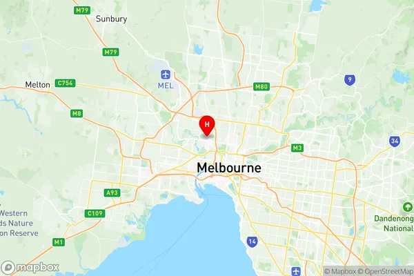
Moonee Ponds is a suburb in Melbourne, Victoria, Australia. It is located 6 km north-west of Melbourne's central business district (CBD). The suburb is named after the Moonee Ponds Creek, which flows through it. Moonee Ponds was first settled in the 1850s and was originally a farming area. It became a residential suburb in the 1920s and 1930s. The suburb is known for its large number of parks and gardens, including the Moonee Ponds Lake, which is a popular spot for swimming and boating. It also has a variety of shopping centers, including the Moonee Ponds Shopping Centre, which includes a supermarket, department store, and a variety of specialty stores. Moonee Ponds is also home to a number of cultural institutions, including the Moonee Ponds Art Gallery and the Moonee Ponds Library.Australia State
City or Big Region
Greater Capital City
Greater Melbourne (2GMEL)District or Regional Area
Suburb Name
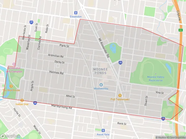
Moonee Ponds Region Map

Moonee Ponds Suburbs
Moonee Ponds full address
Moonee Ponds, Essendon, Melbourne Inner, Victoria, VIC, Australia, SaCode: 206031116Country
Moonee Ponds, Essendon, Melbourne Inner, Victoria, VIC, Australia, SaCode: 206031116
Moonee Ponds Suburbs & Region, Moonee Ponds Map & Postcodes has 0 areas or regions above, and there are 0 Moonee Ponds suburbs below. The sa2code for the Moonee Ponds region is 206031116. Its latitude and longitude coordinates are -37.7675,144.92. Moonee Ponds area belongs to Australia's greater capital city Greater Melbourne.
