Collingwood Area, Collingwood Postcode(3066) & Map in Collingwood, Melbourne - Inner, VIC
Collingwood Area, Collingwood Postcode(3066) & Map in Collingwood, Melbourne - Inner, VIC, AU, Postcode: 3066
Collingwood, Collingwood, Yarra, Melbourne - Inner, Victoria, Australia, 3066
Collingwood Postcode
Area Name
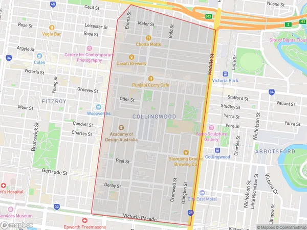
CollingwoodCollingwood Suburb Area Map (Polygon)

Collingwood Introduction
Collingwood is a suburb of Melbourne, Victoria, Australia. It is located 4 miles from Melbourne's Central Business District and is known for its vibrant arts and culture scene. The suburb has a rich history and is home to many historic buildings, including the Collingwood Magistrates Court and the Collingwood Football Club. Collingwood is also home to a number of popular cafes, restaurants, and bars, making it a popular destination for locals and tourists alike.State Name
City or Big Region
District or Regional Area
Suburb Name
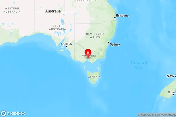
Collingwood Region Map

Country
Main Region in AU
R1Coordinates
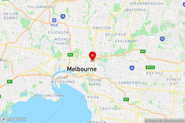
-37.8009595,144.9873447 (latitude/longitude)Collingwood Area Map (Street)

Longitude
144.986906Latitude
-37.804846Collingwood Elevation
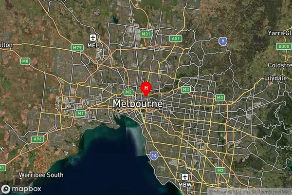
about 19.62 meters height above sea level (Altitude)Collingwood Suburb Map (Satellite)

Distances
The distance from Collingwood, Melbourne - Inner, VIC to AU Greater Capital CitiesSA1 Code 2011
20607114114SA1 Code 2016
20607114114SA2 Code
206071141SA3 Code
20607SA4 Code
206RA 2011
1RA 2016
1MMM 2015
1MMM 2019
1Charge Zone
V1LGA Region
YarraLGA Code
27350Electorate
Melbourne