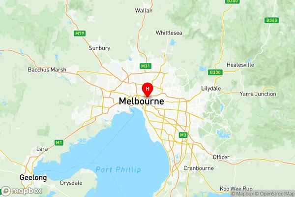
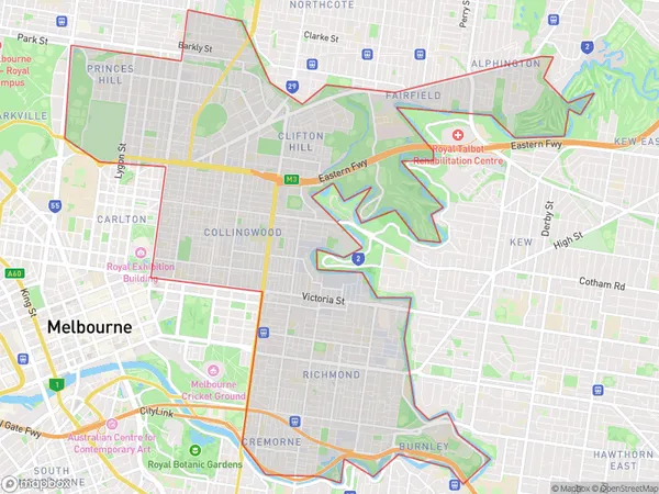
Yarra Suburbs & Region, Yarra Map & Postcodes
Yarra Suburbs & Region, Yarra Map & Postcodes in Yarra, Melbourne Inner, VIC, AU
Yarra Region
Region Name
Yarra (VIC, AU)Yarra Area
20.62 square kilometers (20.62 ㎢)Yarra Introduction
The Yarra River, an essential waterway in Melbourne, Australia, flows through the city's inner-east and central regions. Originating in the Dandenong Ranges, it meanders through the Yarra Valley before reaching the Port Phillip Bay. The river is renowned for its scenic beauty, with numerous parks and gardens lining its banks. It is also a popular recreational spot, offering activities such as swimming, boating, and cycling. The Yarra River is an important source of drinking water for Melbourne and its surrounding areas and supports a diverse range of wildlife.Australia State
City or Big Region
District or Regional Area
Yarra Region Map

Yarra Suburbs
Alphington Fairfield
Carlton North Princes Hill
Fitzroy North
Richmond (Vic.)
Richmond (South) Cremorne
Richmond North
Yarra full address
Yarra, Melbourne Inner, Victoria, VIC, Australia, SaCode: 20607Country
Yarra, Melbourne Inner, Victoria, VIC, Australia, SaCode: 20607
Yarra Suburbs & Region, Yarra Map & Postcodes has 11 areas or regions above, and there are 0 Yarra suburbs below. The sa3code for the Yarra region is 20607. Its latitude and longitude coordinates are -37.8024,144.998.
