Fitzroy Area, Fitzroy Postcode(3065) & Map in Fitzroy, Melbourne - Inner, VIC
Fitzroy Area, Fitzroy Postcode(3065) & Map in Fitzroy, Melbourne - Inner, VIC, AU, Postcode: 3065
Fitzroy, Fitzroy, Yarra, Melbourne - Inner, Victoria, Australia, 3065
Fitzroy Postcode
Area Name
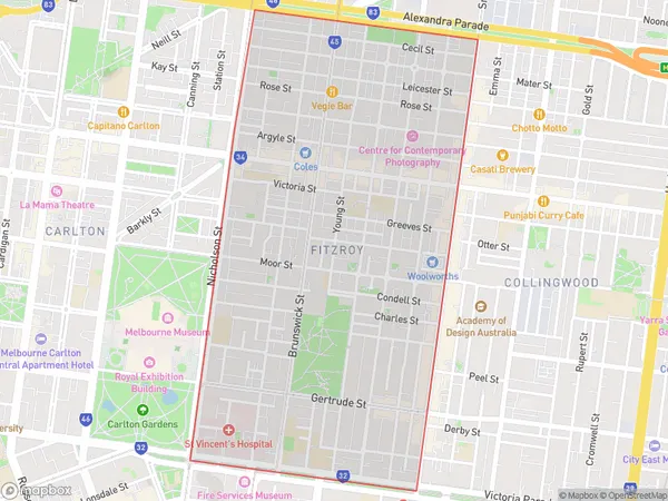
FitzroyFitzroy Suburb Area Map (Polygon)

Fitzroy Introduction
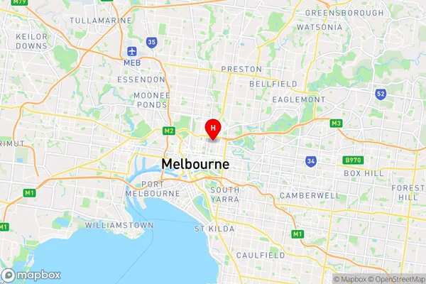
Fitzroy is a suburb of Melbourne, Victoria, Australia. It is located 4 km north-east of Melbourne's central business district. Fitzroy is known for its vibrant arts scene, with many galleries and studios located in the area. It is also home to a large number of independent restaurants, cafes, and bars. Fitzroy is well-connected to other parts of Melbourne, with several bus and train lines passing through the suburb. It is also close to the city's parks and gardens, including the Royal Botanic Gardens and Carlton Gardens.State Name
City or Big Region
District or Regional Area
Suburb Name
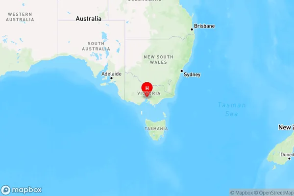
Fitzroy Region Map

Country
Main Region in AU
R1Coordinates
-37.7974551,144.9804594 (latitude/longitude)Fitzroy Area Map (Street)

Longitude
144.977795Latitude
-37.802608Fitzroy Elevation
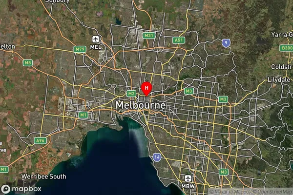
about 33.40 meters height above sea level (Altitude)Fitzroy Suburb Map (Satellite)

Distances
The distance from Fitzroy, Melbourne - Inner, VIC to AU Greater Capital CitiesSA1 Code 2011
20607114223SA1 Code 2016
20607114223SA2 Code
206071142SA3 Code
20607SA4 Code
206RA 2011
1RA 2016
1MMM 2015
1MMM 2019
1Charge Zone
V1LGA Region
YarraLGA Code
27350Electorate
Melbourne