Abbotsford Suburbs & Region, Abbotsford Map & Postcodes
Abbotsford Suburbs & Region, Abbotsford Map & Postcodes in Abbotsford, Yarra, Melbourne Inner, VIC, AU
Abbotsford Region
Region Name
Abbotsford (VIC, AU)Abbotsford Area
1.74 square kilometers (1.74 ㎢)Postal Codes
3067 (In total, there are 1 postcodes in Abbotsford.)Abbotsford Introduction
Abbotsford is a suburb of Melbourne, Victoria, Australia, 2 km east of Melbourne's central business district. Its local government area is the City of Melbourne. At the 2016 Census, Abbotsford had a population of 10,324. The suburb is named after Sir John Abbotsford, who was Premier of Victoria from 1851 to 1856. Abbotsford is known for its vibrant arts and culture scene, with many galleries, studios, and theatres located in the area. It is also home to the Abbotsford Convent, a historic site that is now a cultural precinct. Abbotsford is well-connected to the rest of Melbourne, with several bus and train lines passing through the suburb. It is also close to the Melbourne CBD, with easy access to shops, restaurants, and entertainment venues.Australia State
City or Big Region
Greater Capital City
Greater Melbourne (2GMEL)District or Regional Area
Suburb Name
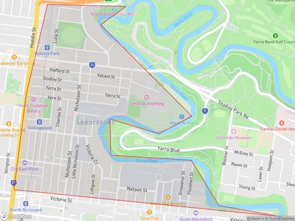
Abbotsford Region Map

Abbotsford Postcodes / Zip Codes
Abbotsford Suburbs
Abbotsford full address
Abbotsford, Yarra, Melbourne Inner, Victoria, VIC, Australia, SaCode: 206071139Country
Abbotsford, Yarra, Melbourne Inner, Victoria, VIC, Australia, SaCode: 206071139
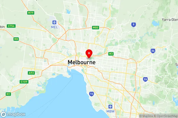
Abbotsford Suburbs & Region, Abbotsford Map & Postcodes has 0 areas or regions above, and there are 1 Abbotsford suburbs below. The sa2code for the Abbotsford region is 206071139. Its latitude and longitude coordinates are -37.8024,144.998. Abbotsford area belongs to Australia's greater capital city Greater Melbourne.
Abbotsford Suburbs & Localities
1. Abbotsford
