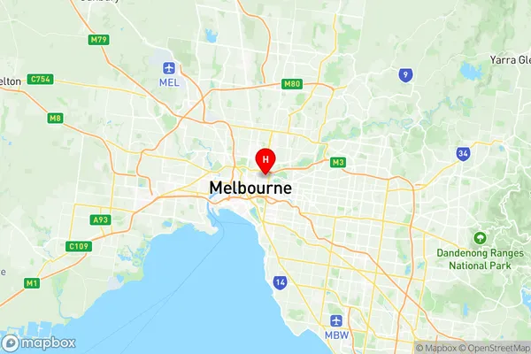
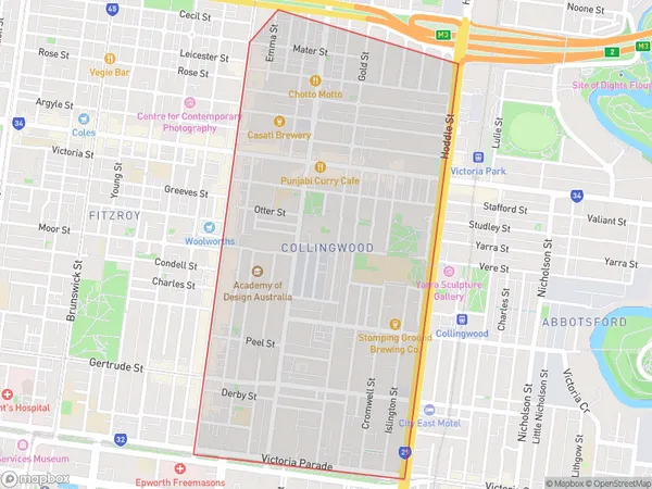
Collingwood Suburbs & Region, Collingwood Map & Postcodes
Collingwood Suburbs & Region, Collingwood Map & Postcodes in Collingwood, Yarra, Melbourne Inner, VIC, AU
Collingwood Region
Region Name
Collingwood (VIC, AU)Collingwood Area
1.27 square kilometers (1.27 ㎢)Postal Codes
3066 (In total, there are 1 postcodes in Collingwood.)Collingwood Introduction
Collingwood is a suburb of Melbourne, Victoria, Australia, 6 km north-east of Melbourne's central business district (CBD). Its local government area is the City of Melbourne. At the 2016 Census, Collingwood had a population of 21,137. Collingwood is notable for its vibrant arts and culture scene, with numerous galleries, museums, and performance venues. The suburb is also home to a large number of independent restaurants, cafes, and shops. Collingwood is well-connected to other parts of Melbourne, with several train and bus stations located within the suburb. The Collingwood Football Club is based in the suburb and is a prominent Australian Rules Football Club. The club has won numerous premierships and is a passionate supporter base. Collingwood also has a strong community spirit, with many community events and festivals held throughout the year.Australia State
City or Big Region
Greater Capital City
Greater Melbourne (2GMEL)District or Regional Area
Suburb Name
Collingwood Region Map

Collingwood Postcodes / Zip Codes
Collingwood Suburbs
Collingwood full address
Collingwood, Yarra, Melbourne Inner, Victoria, VIC, Australia, SaCode: 206071141Country
Collingwood, Yarra, Melbourne Inner, Victoria, VIC, Australia, SaCode: 206071141
Collingwood Suburbs & Region, Collingwood Map & Postcodes has 0 areas or regions above, and there are 2 Collingwood suburbs below. The sa2code for the Collingwood region is 206071141. Its latitude and longitude coordinates are -37.801,144.987. Collingwood area belongs to Australia's greater capital city Greater Melbourne.
Collingwood Suburbs & Localities
1. Collingwood
2. Collingwood North
