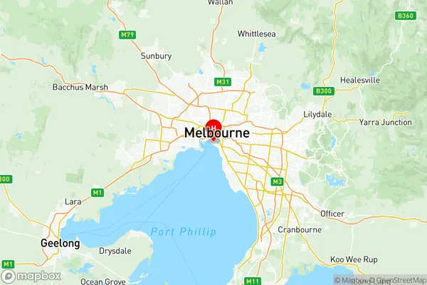
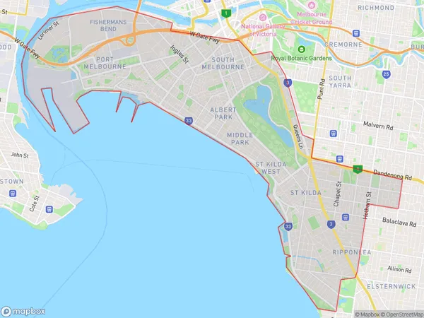
Port Phillip Suburbs & Region, Port Phillip Map & Postcodes
Port Phillip Suburbs & Region, Port Phillip Map & Postcodes in Port Phillip, Melbourne Inner, VIC, AU
Port Phillip Region
Region Name
Port Phillip (VIC, AU)Port Phillip Area
25.86 square kilometers (25.86 ㎢)Postal Codes
3001, 3004, 3006, 3182, 3184, 3205, 3206, 8001, 8008, 8045, 8051, 8066, from 8069 to 8071, 8102, 8107, 8111, 8120, and 8205 (In total, there are 20 postcodes in Port Phillip.)Port Phillip Introduction
Port Phillip is a bay and an inlet of the Southern Ocean in southeastern Australia, located 27 miles (43 km) south-southeast of Melbourne, the state capital of Victoria. It is the second-largest natural harbor in the world and was named after Prince Phillip, the first governor of Australia. The bay is home to the Port Phillip Heads, a group of small islands that protect the harbor from the open sea. The bay is a popular recreational area, with many beaches, parks, and wineries located along its shores. It is also a major shipping hub, with the Port of Melbourne being one of the busiest ports in the world.Australia State
City or Big Region
District or Regional Area
Port Phillip Region Map

Port Phillip Postcodes / Zip Codes
Port Phillip Suburbs
South Melbourne
Port Melbourne Industrial
South Melbourne
St Kilda Central
Port Phillip full address
Port Phillip, Melbourne Inner, Victoria, VIC, Australia, SaCode: 20605Country
Port Phillip, Melbourne Inner, Victoria, VIC, Australia, SaCode: 20605
Port Phillip Suburbs & Region, Port Phillip Map & Postcodes has 8 areas or regions above, and there are 28 Port Phillip suburbs below. The sa3code for the Port Phillip region is 20605. Its latitude and longitude coordinates are -37.8439,144.951.
Port Phillip Suburbs & Localities
1. Melbourne
2. St Kilda Road Central
3. South Wharf
4. Southbank
5. St Kilda South
6. South Melbourne
7. St Kilda Road Melbourne
8. St Kilda West
9. Brighton Road
10. South Melbourne Dc
11. Albert Park
12. St Kilda
13. Middle Park
14. Melbourne
15. Elwood
16. Melbourne
17. Melbourne
18. Melbourne
19. Melbourne
20. Melbourne
21. Melbourne
22. Melbourne
23. St Kilda Road Central
24. Melbourne
25. Melbourne
26. Melbourne
27. Melbourne
28. Melbourne
