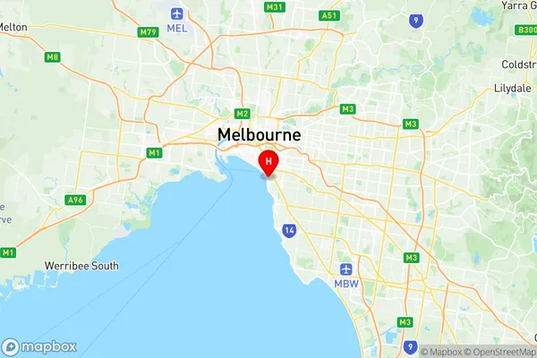
St Kilda Suburbs & Region, St Kilda Map & Postcodes
St Kilda Suburbs & Region, St Kilda Map & Postcodes in St Kilda, Port Phillip, Melbourne Inner, VIC, AU
St Kilda Region
Region Name
St Kilda (VIC, AU)Postal Codes
3182 (In total, there are 1 postcodes in St Kilda.)St Kilda Introduction
St Kilda is a suburb of Melbourne, Victoria, Australia, 6 km south-east of Melbourne's central business district (CBD). Its local government area is the City of Port Phillip. At the 2016 census, St Kilda had a population of 15,414. St Kilda is well known for its beach, which is a popular destination for tourists and locals alike. The suburb also has a rich cultural heritage, with many historic buildings and landmarks. The St Kilda Pier is a major landmark, and the Palais Theatre is a popular venue for live music and entertainment. The suburb is home to a diverse range of people, with a mix of young professionals, families, and older residents. There are many popular restaurants, cafes, and bars in St Kilda, and the suburb is also home to a number of parks and recreational facilities.Australia State
City or Big Region
District or Regional Area
Suburb Name
St Kilda Region Map

St Kilda Postcodes / Zip Codes
St Kilda Suburbs
St Kilda full address
St Kilda, Port Phillip, Melbourne Inner, Victoria, VIC, Australia, SaCode: 206051133Country
St Kilda, Port Phillip, Melbourne Inner, Victoria, VIC, Australia, SaCode: 206051133
St Kilda Suburbs & Region, St Kilda Map & Postcodes has 0 areas or regions above, and there are 3 St Kilda suburbs below. The sa2code for the St Kilda region is 206051133. Its latitude and longitude coordinates are -37.8679,144.978.
St Kilda Suburbs & Localities
1. St Kilda South
2. St Kilda West
3. St Kilda
