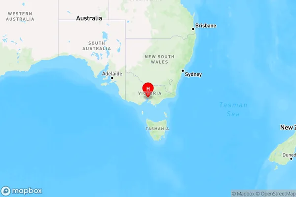
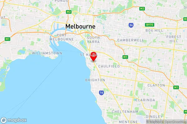
Brighton Road Area, Brighton Road Postcode(3184) & Map in Brighton Road, Melbourne - Inner, VIC
Brighton Road Area, Brighton Road Postcode(3184) & Map in Brighton Road, Melbourne - Inner, VIC, AU, Postcode: 3184
Brighton Road, Elwood, Port Phillip, Melbourne - Inner, Victoria, Australia, 3184
Brighton Road Postcode
Area Name
Brighton RoadBrighton Road Suburb Area Map (Polygon)

Brighton Road Introduction
Brighton Road is a major road in Melbourne, Australia, running east-west from the city center to the beach. It is known for its many shops, restaurants, and cafes, as well as its vibrant nightlife. The road is also home to several notable landmarks, including the Brighton Baths, the Royal Exhibition Building, and the Melbourne Cricket Ground.State Name
City or Big Region
District or Regional Area
Suburb Name
Brighton Road Region Map

Country
Main Region in AU
R1Coordinates
-37.8765417,144.9923384 (latitude/longitude)Brighton Road Area Map (Street)

Longitude
144.984034Latitude
-37.881414Brighton Road Suburb Map (Satellite)

Distances
The distance from Brighton Road, Melbourne - Inner, VIC to AU Greater Capital CitiesSA1 Code 2011
20605112924SA1 Code 2016
20605112924SA2 Code
206051129SA3 Code
20605SA4 Code
206RA 2011
1RA 2016
1MMM 2015
1MMM 2019
1Charge Zone
V1LGA Region
Port PhillipLGA Code
25900Electorate
Macnamara