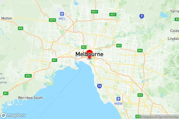
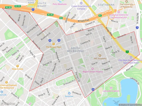
South Melbourne Suburbs & Region, South Melbourne Map & Postcodes
South Melbourne Suburbs & Region, South Melbourne Map & Postcodes in South Melbourne, Port Phillip, Melbourne Inner, VIC, AU
South Melbourne Region
Region Name
South Melbourne (VIC, AU)Postal Codes
3006, and 3205 (In total, there are 2 postcodes in South Melbourne.)South Melbourne Introduction
South Melbourne is a suburb of Melbourne, Victoria, Australia 3 km south-east of Melbourne's central business district. Its local government area is the City of Melbourne. At the 2016 Census, South Melbourne had a population of 10,146. South Melbourne is notable for its many grand mansions, particularly on St Kilda Road. The suburb contains the South Melbourne Market, one of the largest undercover markets in Australia. South Melbourne also has a significant Greek community, with many restaurants and cafes catering to this population. The suburb is well served by public transport, with South Melbourne railway station and numerous trams along St Kilda Road.Australia State
City or Big Region
District or Regional Area
Suburb Name
South Melbourne Region Map

South Melbourne Postcodes / Zip Codes
South Melbourne Suburbs
South Melbourne full address
South Melbourne, Port Phillip, Melbourne Inner, Victoria, VIC, Australia, SaCode: 206051132Country
South Melbourne, Port Phillip, Melbourne Inner, Victoria, VIC, Australia, SaCode: 206051132
South Melbourne Suburbs & Region, South Melbourne Map & Postcodes has 0 areas or regions above, and there are 3 South Melbourne suburbs below. The sa2code for the South Melbourne region is 206051132. Its latitude and longitude coordinates are -37.8339,144.964.
South Melbourne Suburbs & Localities
1. Southbank
2. South Melbourne
3. South Melbourne Dc
