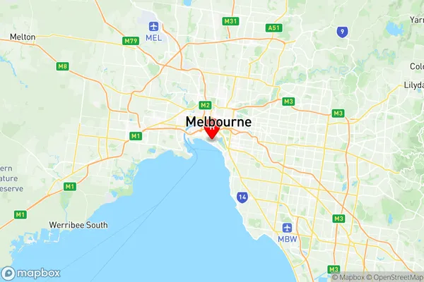
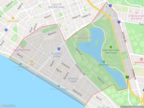
Albert Park Suburbs & Region, Albert Park Map & Postcodes
Albert Park Suburbs & Region, Albert Park Map & Postcodes in Albert Park, Port Phillip, Melbourne Inner, VIC, AU
Albert Park Region
Region Name
Albert Park (VIC, AU)Albert Park Area
4.67 square kilometers (4.67 ㎢)Postal Codes
3206, and 8004 (In total, there are 2 postcodes in Albert Park.)Albert Park Introduction
Albert Park is a suburb of Melbourne, Victoria, Australia, 3 km south-east of Melbourne's central business district. Its local government area is the City of Melbourne. At the 2016 Census, Albert Park had a population of 3,032. The suburb is named after Albert Park Lake, which was named in 1860 after Prince Albert, consort of Queen Victoria. The lake was originally part of the Port Phillip Bay foreshore but was filled in to make way for the construction of Albert Park railway station in 1889. The suburb is characterized by large houses and apartments, many of which are historic. It is also home to a number of parks and gardens, including the Albert Park Golf Course and the Royal Botanic Gardens. The suburb is well-connected to the rest of Melbourne, with easy access to the city's public transport system.Australia State
City or Big Region
Greater Capital City
Greater Melbourne (2GMEL)District or Regional Area
Suburb Name
Albert Park Region Map

Albert Park Postcodes / Zip Codes
Albert Park Suburbs
Albert Park full address
Albert Park, Port Phillip, Melbourne Inner, Victoria, VIC, Australia, SaCode: 206051128Country
Albert Park, Port Phillip, Melbourne Inner, Victoria, VIC, Australia, SaCode: 206051128
Albert Park Suburbs & Region, Albert Park Map & Postcodes has 0 areas or regions above, and there are 3 Albert Park suburbs below. The sa2code for the Albert Park region is 206051128. Its latitude and longitude coordinates are -37.8439,144.951. Albert Park area belongs to Australia's greater capital city Greater Melbourne.
Albert Park Suburbs & Localities
1. Albert Park
2. Middle Park
3. St Kilda Road
