Albert Park Area, Albert Park Postcode(3206) & Map in Albert Park, Melbourne - Inner, VIC
Albert Park Area, Albert Park Postcode(3206) & Map in Albert Park, Melbourne - Inner, VIC, AU, Postcode: 3206
Albert Park, Albert Park, Port Phillip, Melbourne - Inner, Victoria, Australia, 3206
Albert Park Postcode
Area Name
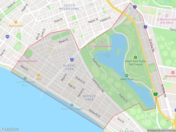
Albert ParkAlbert Park Suburb Area Map (Polygon)

Albert Park Introduction
Albert Park is a parkland and lake located in Melbourne's inner-east, known for its beautiful gardens, sports facilities, and peaceful atmosphere. It is a popular destination for locals and tourists alike, with a variety of activities to enjoy throughout the year. The park includes the Albert Park Lake, which is a popular spot for swimming, boating, and fishing, as well as the Melbourne Grand Prix Circuit, which hosts the Australian Grand Prix each year.State Name
City or Big Region
District or Regional Area
Suburb Name
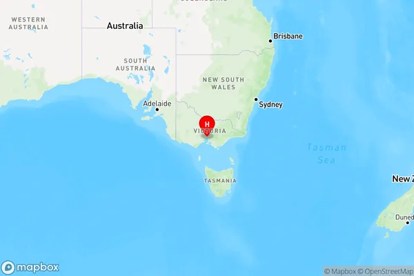
Albert Park Region Map

Country
Main Region in AU
R1Coordinates
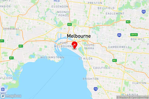
-37.8438609,144.9514536 (latitude/longitude)Albert Park Area Map (Street)

Longitude
144.95086Latitude
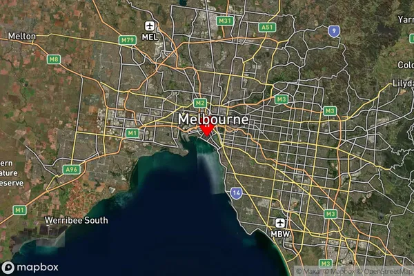
-37.846534Albert Park Suburb Map (Satellite)

Distances
The distance from Albert Park, Melbourne - Inner, VIC to AU Greater Capital CitiesSA1 Code 2011
20605112801SA1 Code 2016
20605112801SA2 Code
206051128SA3 Code
20605SA4 Code
206RA 2011
1RA 2016
1MMM 2015
1MMM 2019
1Charge Zone
V1LGA Region
Port PhillipLGA Code
25900Electorate
Macnamara