St Kilda Road Melbourne Area, St Kilda Road Melbourne Postcode(3004) & Map in St Kilda Road Melbourne, Melbourne - Inner, VIC
St Kilda Road Melbourne Area, St Kilda Road Melbourne Postcode(3004) & Map in St Kilda Road Melbourne, Melbourne - Inner, VIC, AU, Postcode: 3004
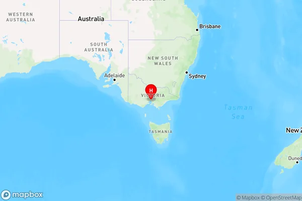
St Kilda Road Melbourne, South Yarra - West, Melbourne City, Melbourne - Inner, Victoria, Australia, 3004
St Kilda Road Melbourne Postcode
Area Name
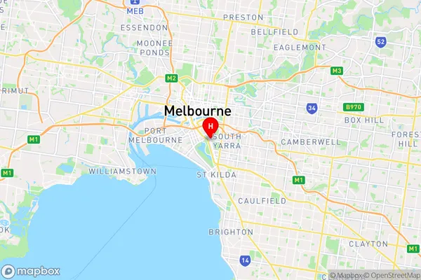
St Kilda Road MelbourneSt Kilda Road Melbourne Suburb Area Map (Polygon)

St Kilda Road Melbourne Introduction
St Kilda Road Melbourne is a major thoroughfare in Melbourne, Australia, running east-west through the city's inner suburbs. It is known for its high-rise buildings, including the Rialto Building, the National Gallery of Victoria, and the Shrine of Remembrance. The road is also home to many restaurants, cafes, and bars, as well as the Melbourne Cricket Ground and the Royal Botanic Gardens.State Name
City or Big Region
District or Regional Area
Suburb Name
St Kilda Road Melbourne Region Map
Country
Main Region in AU
R1Coordinates
-37.8368,144.976 (latitude/longitude)St Kilda Road Melbourne Area Map (Street)
Longitude
144.976Latitude
-37.8368St Kilda Road Melbourne Elevation
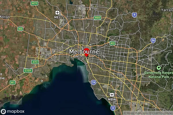
about -3492.00 meters height above sea level (Altitude)St Kilda Road Melbourne Suburb Map (Satellite)
Distances
The distance from St Kilda Road Melbourne, Melbourne - Inner, VIC to AU Greater Capital CitiesSA1 Code 2011
20604112506SA1 Code 2016
20604112506SA2 Code
206041125SA3 Code
20604SA4 Code
206RA 2011
1RA 2016
1MMM 2015
1MMM 2019
1Charge Zone
V1LGA Region
Port PhillipLGA Code
25900Electorate
Macnamara