South Yarra West Suburbs & Region, South Yarra West Map & Postcodes
South Yarra West Suburbs & Region, South Yarra West Map & Postcodes in South Yarra West, Stonnington West, Melbourne Inner, VIC, AU
South Yarra West Region
Region Name
South Yarra West (VIC, AU)South Yarra West Area
1.5 square kilometers (1.5 ㎢)South Yarra West Introduction
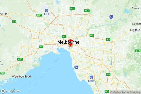
South Yarra West is a suburb of Melbourne, Victoria, Australia, 3 km south-east of Melbourne's central business district. Its local government area is the City of Melbourne. At the 2016 Census, South Yarra West had a population of 11,613. South Yarra West is notable for its high-end shopping and dining, with Chapel Street being a popular destination for fashion and cuisine. The suburb is also home to a number of cultural institutions, including the South Melbourne Market and the National Gallery of Victoria. South Yarra railway station is located on the Sandringham line, providing easy access to the city.Australia State
City or Big Region
Greater Capital City
Greater Melbourne (2GMEL)District or Regional Area
Suburb Name
South Yarra West Region Map

South Yarra West Suburbs
South Yarra West full address
South Yarra West, Stonnington West, Melbourne Inner, Victoria, VIC, Australia, SaCode: 206041125Country
South Yarra West, Stonnington West, Melbourne Inner, Victoria, VIC, Australia, SaCode: 206041125
South Yarra West Suburbs & Region, South Yarra West Map & Postcodes has 0 areas or regions above, and there are 0 South Yarra West suburbs below. The sa2code for the South Yarra West region is 206041125. Its latitude and longitude coordinates are -37.8368,144.976. South Yarra West area belongs to Australia's greater capital city Greater Melbourne.
