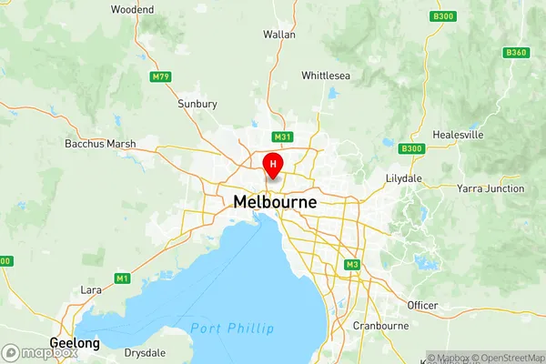
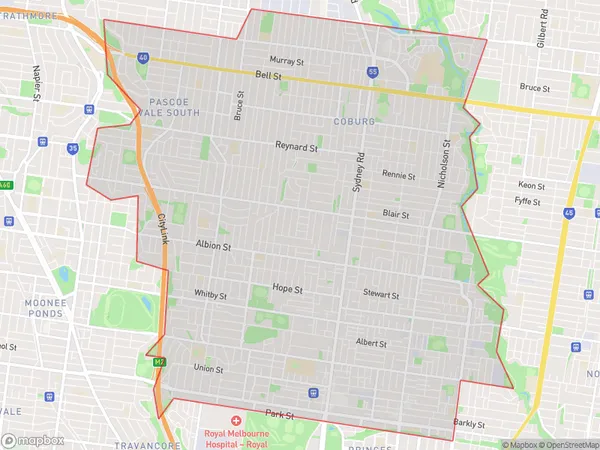
Brunswick Coburg Suburbs & Region, Brunswick Coburg Map & Postcodes
Brunswick Coburg Suburbs & Region, Brunswick Coburg Map & Postcodes in Brunswick Coburg, Melbourne Inner, VIC, AU
Brunswick Coburg Region
Region Name
Brunswick Coburg (VIC, AU)Brunswick Coburg Area
20.41 square kilometers (20.41 ㎢)Postal Codes
3056, and 3057 (In total, there are 2 postcodes in Brunswick Coburg.)Brunswick Coburg Introduction
Brunswick Coburg is a suburb in Melbourne, Australia, 6 km north-east of Melbourne's central business district. Its local government area is the City of Moreland. At the 2016 Census, Brunswick Coburg had a population of 11,227. Brunswick Coburg was named after Prince Frederick, Duke of York and Albany, the third son of King George III. The suburb was originally part of the City of Moreland, but in 1994 it was amalgamated with the City of Brunswick to form the new City of Moreland-Brunswick. The suburb has a variety of shops, cafes, and restaurants, as well as a large shopping centre and a cinema complex. Brunswick Coburg is also home to a number of parks and recreational facilities, including the Brunswick Park Reserve and the Moreland Aquatic Centre.Australia State
City or Big Region
District or Regional Area
Brunswick Coburg Region Map

Brunswick Coburg Postcodes / Zip Codes
Brunswick Coburg Suburbs
Brunswick North
Brunswick South
Brunswick Coburg full address
Brunswick Coburg, Melbourne Inner, Victoria, VIC, Australia, SaCode: 20601Country
Brunswick Coburg, Melbourne Inner, Victoria, VIC, Australia, SaCode: 20601
Brunswick Coburg Suburbs & Region, Brunswick Coburg Map & Postcodes has 6 areas or regions above, and there are 6 Brunswick Coburg suburbs below. The sa3code for the Brunswick Coburg region is 20601. Its latitude and longitude coordinates are -37.7666,144.958.
Brunswick Coburg Suburbs & Localities
1. Sumner
2. Brunswick Lower
3. Brunswick
4. Brunswick North
5. Brunswick East
6. Lygon Street North
