Balclutha Suburbs & Region, Balclutha Map & Postcodes in Balclutha, Clutha, Otago
Balclutha Postcodes, Balclutha ZipCodes, Balclutha , Balclutha Otago, Balclutha Suburbs, Balclutha Region, Balclutha Map, Balclutha Area
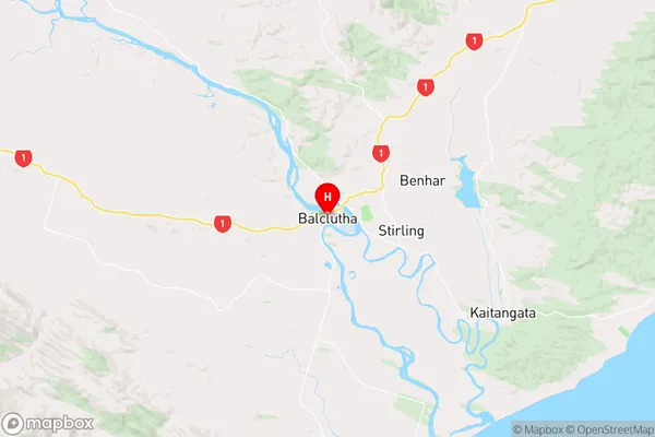
Balclutha Region (Barnego Region)
Balclutha Suburbs
Balclutha is a city place type in Clutha, Otago, NZ. It contains 17 suburbs or localities.Balclutha district
CluthaBalclutha Region Map
Balclutha Introduction
Balclutha is a small town in Otago, New Zealand, located on the southern shore of the Otago Harbour. It is known for its historic buildings, including the Balclutha District Council Chambers, which is one of the oldest municipal buildings in New Zealand. The town also has a beautiful beach, several parks, and a golf course. Balclutha is a popular destination for tourists and locals alike, with many attractions and activities to enjoy.Balclutha Region
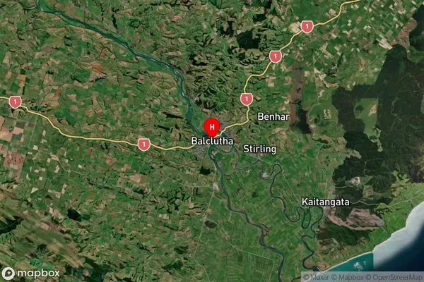
Balclutha Satellite Map
Full Address
Balclutha, Clutha, OtagoBalclutha Coordinates
-46.24078,169.736157 (Latitude / Longitude)Balclutha Map in NZ
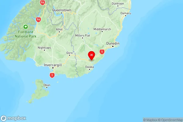
NZ Island
South IslandCountry
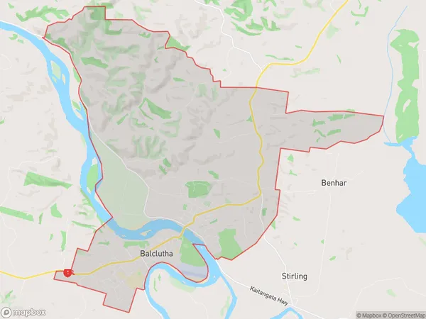
Balclutha Area Map (Polygon)
Name
BalcluthaAdditional Name
BarnegoLocal Authority
Clutha District
Balclutha Suburbs (Sort by Population)
Balclutha
Balclutha - 4416Te Houka
Te Houka - 164Hillend
Hillend - 127Warepa
Warepa - 119Benhar
Benhar - 113Otanomomo
Otanomomo - 94Pukeawa
Pukeawa - 93Waitepeka
Waitepeka - 84Kaihiku
Kaihiku - 81Romahapa
Romahapa - 76Clifton
Clifton - 66Paretai
Paretai - 63Kakapuaka
Kakapuaka - 56Awamangu
Awamangu - 44Stony Creek
Stony Creek - 38Lochindorb
Lochindorb - 31Finegand
Finegand - 29