Pukeawa Area, Pukeawa Postcode & Map in Pukeawa
Pukeawa Area, Pukeawa Postcode & Map in Pukeawa, Clutha District, New Zealand
Pukeawa, Clutha District, New Zealand
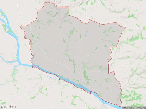
Pukeawa Area (estimated)
53.0 square kilometersPukeawa Population (estimated)
93 people live in Pukeawa, Otago, NZPukeawa Suburb Area Map (Polygon)
Pukeawa Introduction
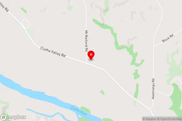
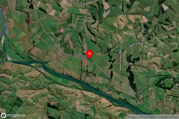
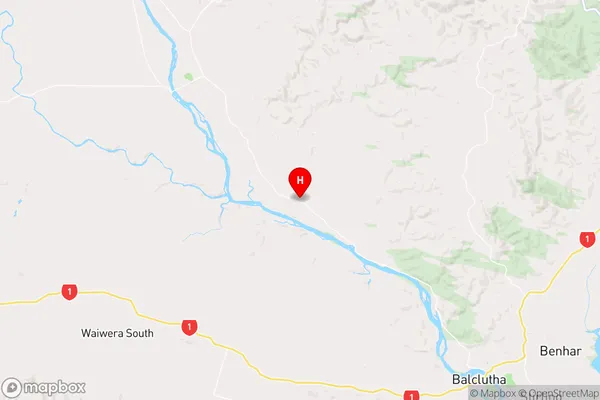
Pukeawa is a small rural community in Balclutha, Otago, New Zealand. It is located on the banks of the Clutha River, approximately 10 kilometers south of Balclutha town. The area is known for its scenic rural landscapes, historic buildings, and strong community spirit. Pukeawa is home to a variety of recreational facilities, including a golf course, a swimming pool, and a sports complex. The community also has a primary school, a post office, and a small supermarket.Region
Major City
Suburb Name
PukeawaOther Name(s)
PukepitoPukeawa Area Map (Street)
Local Authority
Clutha DistrictFull Address
Pukeawa, Clutha District, New ZealandAddress Type
Locality in Town BalcluthaPukeawa Suburb Map (Satellite)
Country
Main Region in AU
OtagoPukeawa Region Map
Coordinates
-46.1524953,169.6169794 (latitude/longitude)Distances
The distance from Pukeawa, Balclutha, Clutha District to NZ Top 10 Cities