Hillend Area, Hillend Postcode(9272) & Map in Hillend
Hillend Area, Hillend Postcode(9272) & Map in Hillend, Clutha District, New Zealand
Hillend, Clutha District, New Zealand
Hillend Postcodes
Hillend Area (estimated)
123.4 square kilometersHillend Population (estimated)
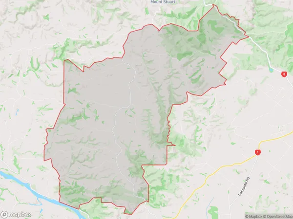
127 people live in Hillend, Otago, NZHillend Suburb Area Map (Polygon)
Hillend Introduction
Hillend is a small rural community in Balclutha, Otago, New Zealand. It is located on the banks of the Clutha River, approximately 10 kilometers south of Balclutha town. Hillend is known for its picturesque rural setting, historic buildings, and friendly community. The area has a rich history, with several early Scottish settlers arriving in the 1800s. Today, Hillend is a popular destination for tourists and locals alike, with many attractions and activities to enjoy, including hiking, fishing, and cycling.Region
Major City
Suburb Name
HillendOther Name(s)
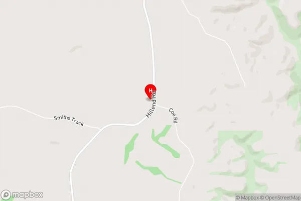
Mount Stuart, Mt Stuart, PukekomaHillend Area Map (Street)
Local Authority
Clutha DistrictFull Address
Hillend, Clutha District, New ZealandAddress Type
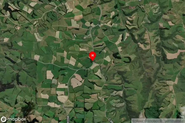
Locality in Town BalcluthaHillend Suburb Map (Satellite)
Country
Main Region in AU
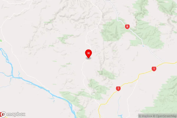
OtagoHillend Region Map
Coordinates
-46.1236148,169.7448696 (latitude/longitude)Distances
The distance from Hillend, Balclutha, Clutha District to NZ Top 10 Cities