Romahapa Area, Romahapa Postcode(9271) & Map in Romahapa
Romahapa Area, Romahapa Postcode(9271) & Map in Romahapa, Clutha District, New Zealand
Romahapa, Clutha District, New Zealand
Romahapa Postcodes
Romahapa Area (estimated)
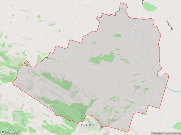
49.9 square kilometersRomahapa Population (estimated)
76 people live in Romahapa, Otago, NZRomahapa Suburb Area Map (Polygon)
Romahapa Introduction
Romahapa is a small rural community in Balclutha, Otago, New Zealand. It is located on State Highway 1, approximately 20 kilometers south of Balclutha and 120 kilometers north of Dunedin. The community has a population of around 50 people and is known for its scenic surroundings and peaceful atmosphere. The area is popular with outdoor enthusiasts and has a variety of hiking and cycling trails.Region
Major City
Suburb Name
RomahapaOther Name(s)
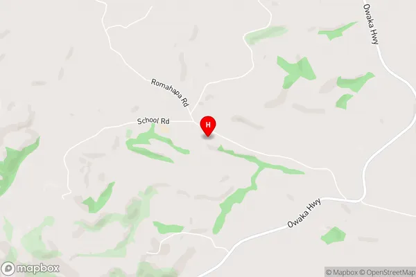
PueruaRomahapa Area Map (Street)
Local Authority
Clutha DistrictFull Address
Romahapa, Clutha District, New ZealandAddress Type
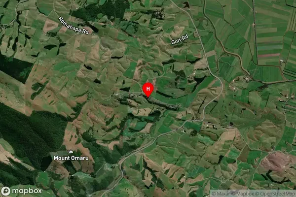
Locality in Town BalcluthaRomahapa Suburb Map (Satellite)
Country
Main Region in AU
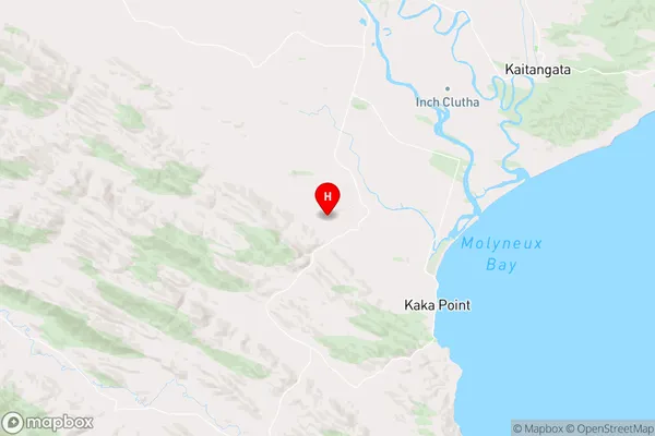
OtagoRomahapa Region Map
Coordinates
-46.3463868,169.7141243 (latitude/longitude)Distances
The distance from Romahapa, Balclutha, Clutha District to NZ Top 10 Cities