Warepa Suburbs & Region, Warepa Map & Postcodes in Warepa, Balclutha, Otago
Warepa Postcodes, Warepa ZipCodes, Warepa , Warepa Otago, Warepa Suburbs, Warepa Region, Warepa Map, Warepa Area
Warepa Region
Warepa Suburbs
Warepa is a suburb place type in Balclutha, Otago, NZ. It contains 0 suburbs or localities.Warepa Postcodes
Warepa district
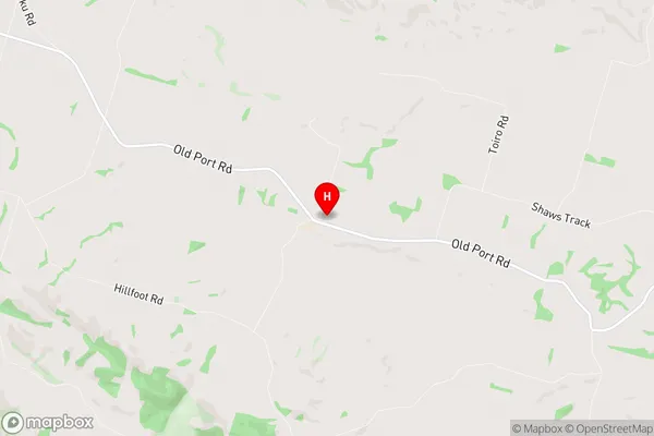
CluthaWarepa Region Map
Warepa Introduction
Warepa is a small town in Otago, New Zealand, located in the Central Otago District. It is situated on the banks of the Clutha River, approximately 30 kilometers southeast of Dunedin. The town was originally established as a gold mining settlement in the 1860s but has since transitioned into a farming and tourism-based economy. Warepa has a population of around 300 people and is known for its historic buildings, including the Warepa Hotel, which was built in 1886. The town also hosts the annual Warepa Classic Car Rally, which attracts enthusiasts from around New Zealand. The nearby Clutha River is a popular spot for fishing and boating, and the surrounding area is known for its scenic landscapes and outdoor activities.Warepa Region
Warepa City
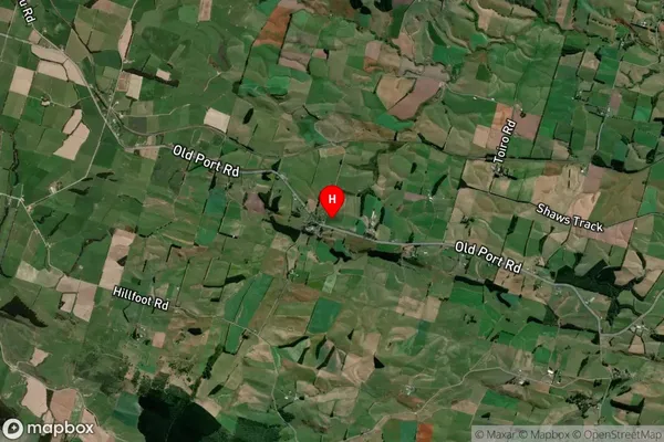
Warepa Satellite Map
Full Address
Warepa, Balclutha, OtagoWarepa Coordinates
-46.268638,169.625602 (Latitude / Longitude)Warepa Map in NZ

NZ Island
South IslandCountry
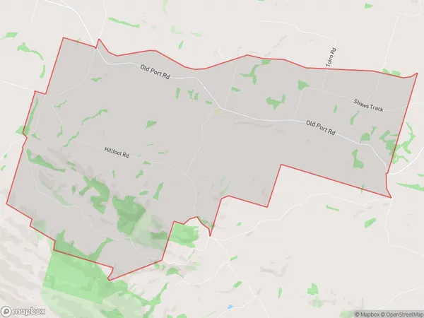
Warepa Area Map (Polygon)
Name
WarepaAdditional Name
Local Authority
Clutha District
Warepa Suburbs (Sort by Population)
Warepa suburb has around
29.3 square
kilometers.There are more than 119 people (estimated)
live in Warepa, Balclutha, Otago, New Zealand.