Warepa Area, Warepa Postcode(9273) & Map in Warepa
Warepa Area, Warepa Postcode(9273) & Map in Warepa, Clutha District, New Zealand
Warepa, Clutha District, New Zealand
Warepa Postcodes
Warepa Area (estimated)
29.3 square kilometersWarepa Population (estimated)
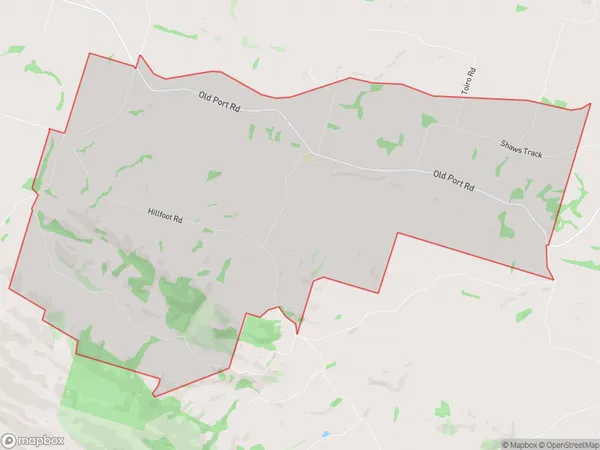
119 people live in Warepa, Otago, NZWarepa Suburb Area Map (Polygon)
Warepa Introduction
Warepa is a small rural community in Balclutha, Otago, New Zealand. It is located on the banks of the Clutha River, approximately 20 kilometers south of Balclutha and 120 kilometers south of Dunedin. The community has a population of around 100 people and is known for its scenic surroundings and historic buildings. Warepa was originally a farming community, but today it is primarily a retirement village. The village has a community hall, a church, and a small supermarket. The surrounding area is popular for outdoor activities such as hiking, fishing, and hunting.Region
Major City
Suburb Name
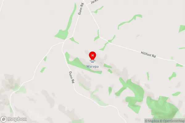
WarepaWarepa Area Map (Street)
Local Authority
Clutha DistrictFull Address
Warepa, Clutha District, New ZealandAddress Type
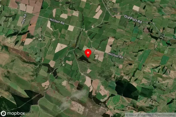
Locality in Town BalcluthaWarepa Suburb Map (Satellite)
Country
Main Region in AU
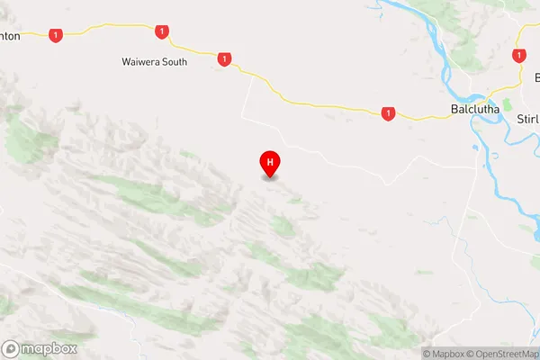
OtagoWarepa Region Map
Coordinates
-46.2781585,169.5797132 (latitude/longitude)Distances
The distance from Warepa, Balclutha, Clutha District to NZ Top 10 Cities