Waitepeka Area, Waitepeka Postcode & Map in Waitepeka
Waitepeka Area, Waitepeka Postcode & Map in Waitepeka, Clutha District, New Zealand
Waitepeka, Clutha District, New Zealand
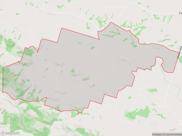
Waitepeka Area (estimated)
38.1 square kilometersWaitepeka Population (estimated)
84 people live in Waitepeka, Otago, NZWaitepeka Suburb Area Map (Polygon)
Waitepeka Introduction
Waitepeka is a small rural community in Balclutha, Otago, New Zealand. It is located on the banks of the Waite River, approximately 20 kilometers south of Balclutha and 100 kilometers south of Dunedin. The community has a population of around 100 people and is known for its scenic surroundings and historic buildings. Waitepeka was originally settled by Māori in the 18th century and was named after a nearby hill. The area was developed as a farming community in the 19th century, and today it is home to a variety of agricultural businesses, including sheep and beef farming.Region
Major City
Suburb Name
WaitepekaWaitepeka Area Map (Street)
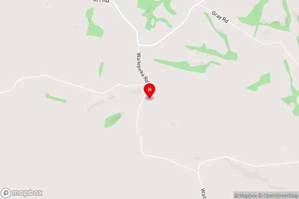
Local Authority
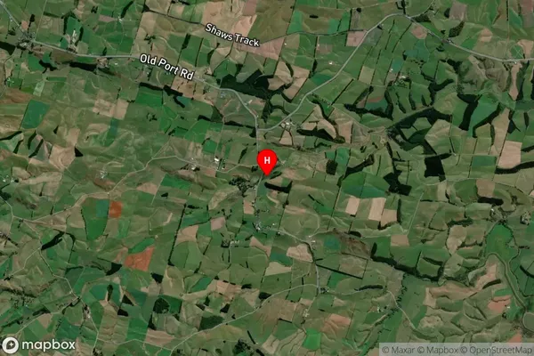
Clutha DistrictFull Address
Waitepeka, Clutha District, New ZealandAddress Type
Locality in Town BalcluthaWaitepeka Suburb Map (Satellite)
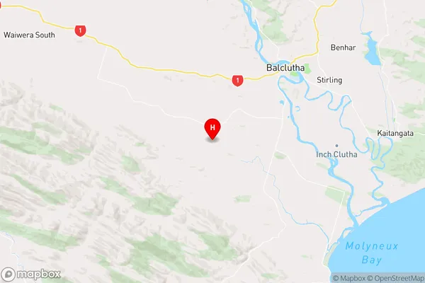
Country
Main Region in AU
OtagoWaitepeka Region Map
Coordinates
-46.2873292,169.6691864 (latitude/longitude)Distances
The distance from Waitepeka, Balclutha, Clutha District to NZ Top 10 Cities