Clydevale Suburbs & Region, Clydevale Map & Postcodes in Clydevale, Balclutha, Otago
Clydevale Postcodes, Clydevale ZipCodes, Clydevale , Clydevale Otago, Clydevale Suburbs, Clydevale Region, Clydevale Map, Clydevale Area
Clydevale Region
Clydevale Suburbs
Clydevale is a suburb place type in Balclutha, Otago, NZ. It contains 6 suburbs or localities.Clydevale Postcodes
Clydevale district
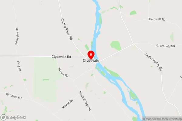
CluthaClydevale Region Map
Clydevale Introduction
Clydevale is a small rural community located in the Otago region of New Zealand. It is situated on the banks of the Clutha River, approximately 30 kilometers south of Dunedin. The area is known for its scenic beauty, with rolling hills, lush green fields, and picturesque views of the river. Clydevale has a population of around 500 people and is home to a variety of businesses, including a primary school, a convenience store, and a pub. The community is also home to a number of historic buildings, including the Clydevale Hotel, which was built in the 1880s. The hotel is a popular destination for tourists and locals alike, offering a range of accommodation options and a restaurant that serves traditional New Zealand cuisine.Clydevale Region
Clydevale City
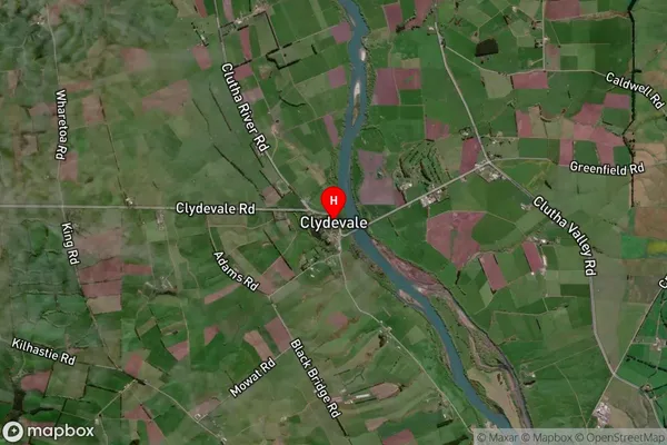
Clydevale Satellite Map
Full Address
Clydevale, Balclutha, OtagoClydevale Coordinates
-46.099839,169.526525 (Latitude / Longitude)Clydevale Map in NZ
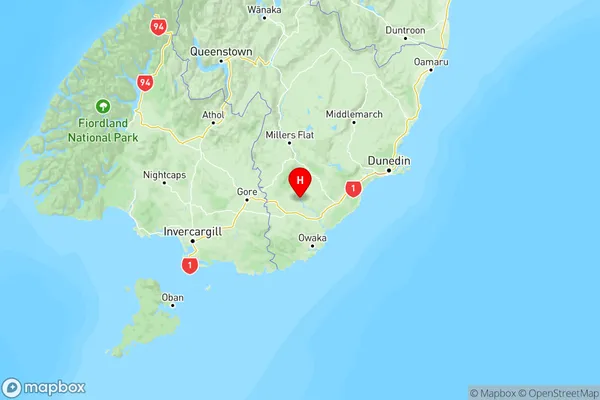
NZ Island
South IslandCountry
Clydevale Area Map (Polygon)
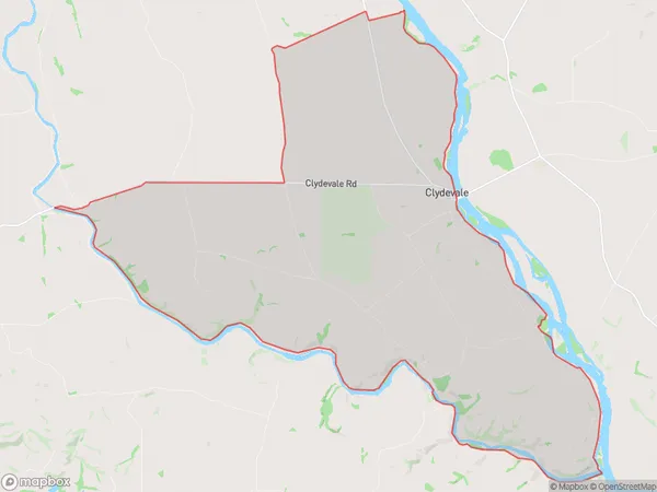
Name
ClydevaleAdditional Name
Local Authority
Clutha District
Clydevale Suburbs (Sort by Population)
Clydevale
Clydevale - 176Wharetoa
Wharetoa - 124Rongahere
Rongahere - 100Greenfield
Greenfield - 89Tuapeka Mouth
Tuapeka Mouth - 65Puketi
Puketi - 53