Puketi Area, Puketi Postcode & Map in Puketi
Puketi Area, Puketi Postcode & Map in Puketi, Clutha District, New Zealand
Puketi, Clutha District, New Zealand
Puketi Area (estimated)
59.0 square kilometersPuketi Population (estimated)
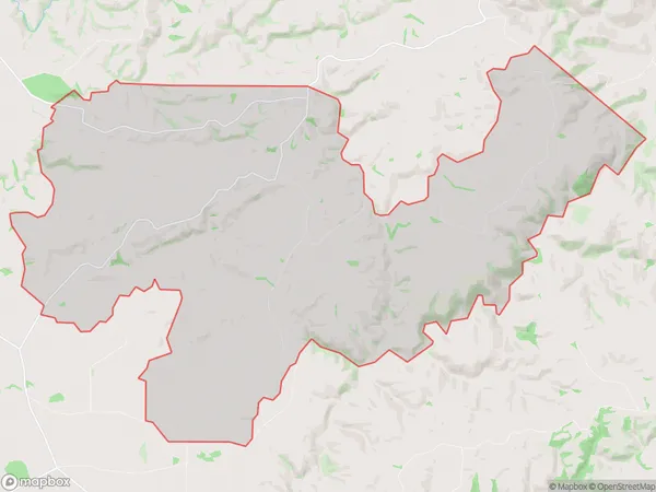
53 people live in Puketi, Northland, NZPuketi Suburb Area Map (Polygon)
Puketi Introduction
Puketi is a small rural community in Northland, New Zealand, located on the banks of the Puketi River. It is known for its stunning natural surroundings, including lush forests, waterfalls, and a variety of wildlife. The community has a population of around 100 people and is home to a primary school, a church, and a small supermarket. Puketi is a popular destination for outdoor enthusiasts, with many opportunities for hiking, fishing, and hunting. The area is also home to a number of cultural landmarks, including a historic church and a traditional Maori meeting house.Region
Major City
Suburb Name
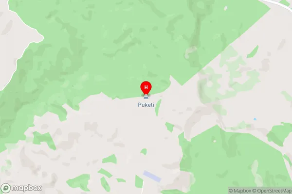
PuketiPuketi Area Map (Street)
Local Authority
Clutha DistrictFull Address
Puketi, Clutha District, New ZealandAddress Type
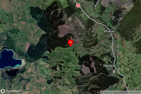
Locality in Major Locality ClydevalePuketi Suburb Map (Satellite)
Country
Main Region in AU
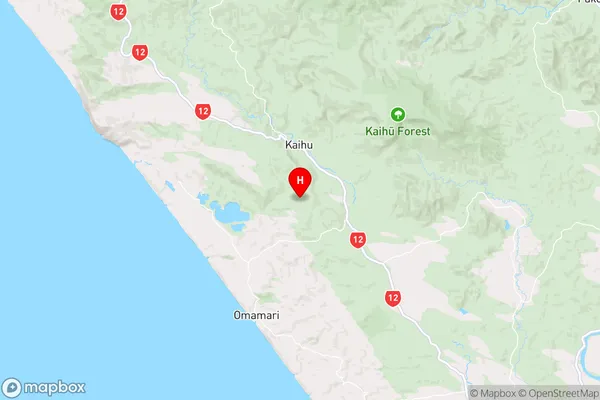
NorthlandPuketi Region Map
Coordinates
-35.799454,173.696559 (latitude/longitude)Distances
The distance from Puketi, Clydevale, Clutha District to NZ Top 10 Cities