Wharetoa Area, Wharetoa Postcode & Map in Wharetoa
Wharetoa Area, Wharetoa Postcode & Map in Wharetoa, Clutha District, New Zealand
Wharetoa, Clutha District, New Zealand
Wharetoa Area (estimated)
48.4 square kilometersWharetoa Population (estimated)
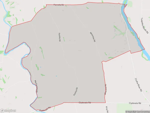
124 people live in Wharetoa, Otago, NZWharetoa Suburb Area Map (Polygon)
Wharetoa Introduction
Wharetoa is a small rural community located in the Otago region of New Zealand. It is situated on the banks of the Taieri River, approximately 20 kilometers south of Dunedin. The area is known for its stunning natural scenery, including mountains, forests, and rivers. Wharetoa has a population of around 100 people and is home to a variety of wildlife, including kea, tui, and red-billed gulls. The community is also home to a historic stone church, built in 1875, and a small museum that showcases the area's cultural heritage.Region
Major City
Suburb Name
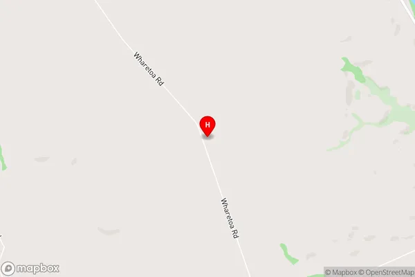
WharetoaWharetoa Area Map (Street)
Local Authority
Clutha DistrictFull Address
Wharetoa, Clutha District, New ZealandAddress Type
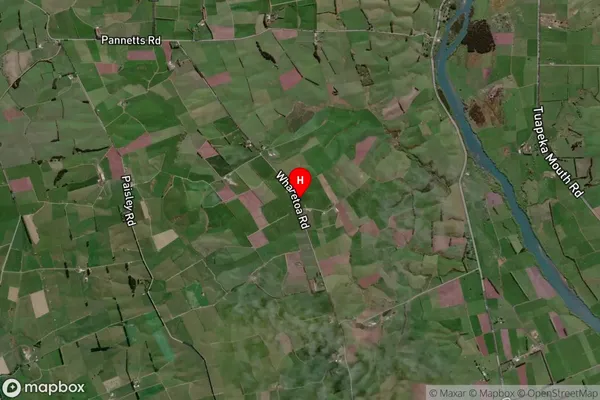
Locality in Major Locality ClydevaleWharetoa Suburb Map (Satellite)
Country
Main Region in AU
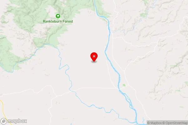
OtagoWharetoa Region Map
Coordinates
-46.0593251,169.4747247 (latitude/longitude)Distances
The distance from Wharetoa, Clydevale, Clutha District to NZ Top 10 Cities