Clydevale Area, Clydevale Postcode(9247) & Map in Clydevale
Clydevale Area, Clydevale Postcode(9247) & Map in Clydevale, Clutha District, New Zealand
Clydevale, Clutha District, New Zealand
Clydevale Area (estimated)
50.9 square kilometersClydevale Population (estimated)
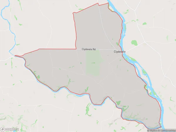
176 people live in Clydevale, Otago, NZClydevale Suburb Area Map (Polygon)
Clydevale Introduction
Clydevale is a small rural town in Otago, New Zealand, located on the banks of the Clutha River. It is known for its historic stone buildings and scenic surroundings, including the Clyde Dam and the Clyde Forest Park. The town has a population of around 200 people and is a popular destination for tourists and outdoor enthusiasts.Region
Major City
Suburb Name
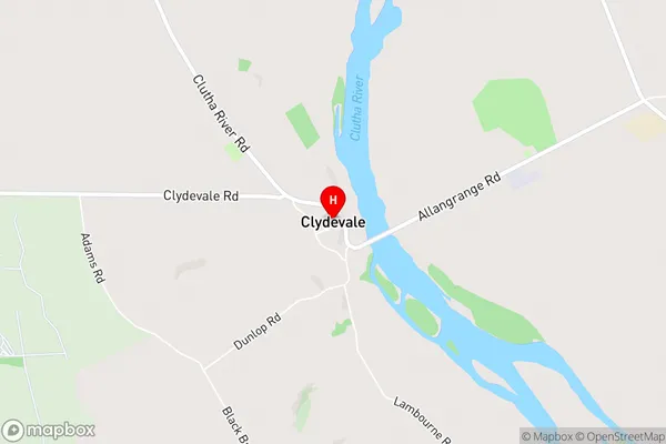
ClydevaleClydevale Area Map (Street)
Local Authority
Clutha DistrictFull Address
Clydevale, Clutha District, New ZealandAddress Type
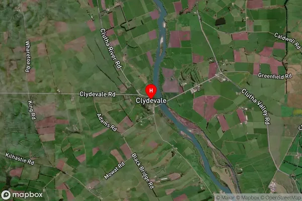
Locality in Major Locality ClydevaleClydevale Suburb Map (Satellite)
Country
Main Region in AU
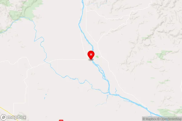
OtagoClydevale Region Map
Coordinates
-46.0998393,169.5265251 (latitude/longitude)Distances
The distance from Clydevale, Clydevale, Clutha District to NZ Top 10 Cities