Greenfield Area, Greenfield Postcode(9247) & Map in Greenfield
Greenfield Area, Greenfield Postcode(9247) & Map in Greenfield, Clutha District, New Zealand
Greenfield, Clutha District, New Zealand
Greenfield Area (estimated)
46.4 square kilometersGreenfield Population (estimated)
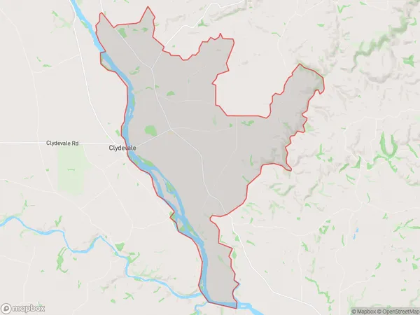
89 people live in Greenfield, Otago, NZGreenfield Suburb Area Map (Polygon)
Greenfield Introduction
Greenfield is a small rural town located in the Otago region of New Zealand. It is situated on the banks of the Clutha River, approximately 20 kilometers south of Dunedin. The town was established in the 1860s and has a population of around 1,000 people. Greenfield is known for its picturesque scenery, including rolling hills, lush green fields, and the Clutha River. It is also home to a variety of recreational facilities, including a golf course, a swimming pool, and a sports complex.Region
Major City
Suburb Name
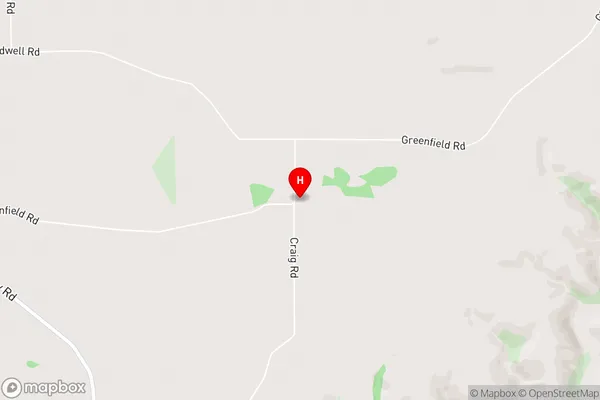
GreenfieldGreenfield Area Map (Street)
Local Authority
Clutha DistrictFull Address
Greenfield, Clutha District, New ZealandAddress Type
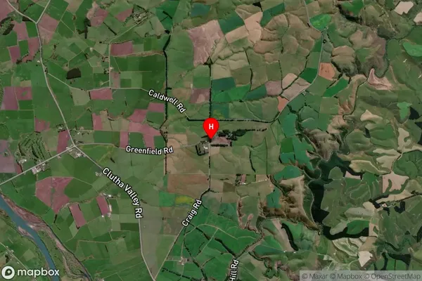
Locality in Major Locality ClydevaleGreenfield Suburb Map (Satellite)
Country
Main Region in AU
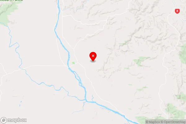
OtagoGreenfield Region Map
Coordinates
-46.0924002,169.5838237 (latitude/longitude)Distances
The distance from Greenfield, Clydevale, Clutha District to NZ Top 10 Cities