Rongahere Area, Rongahere Postcode & Map in Rongahere
Rongahere Area, Rongahere Postcode & Map in Rongahere, Clutha District, New Zealand
Rongahere, Clutha District, New Zealand
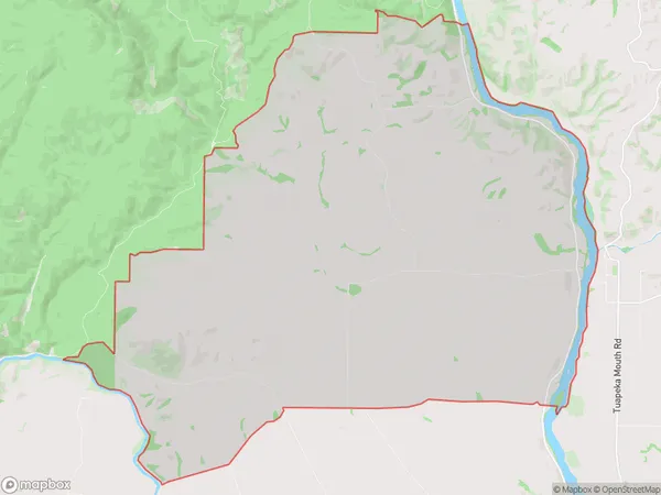
Rongahere Area (estimated)
64.3 square kilometersRongahere Population (estimated)
100 people live in Rongahere, Otago, NZRongahere Suburb Area Map (Polygon)
Rongahere Introduction
Rongahere is a small rural community in the Otago region of New Zealand, located approximately 20 kilometers south of Dunedin. It is known for its picturesque rural setting, with rolling hills, lush green fields, and a peaceful atmosphere. The community has a primary school, a post office, and a small supermarket. Rangahore is surrounded by stunning natural attractions, including the Taieri River, the Otago Peninsula, and the Mount Cargill Conservation Park. It is a popular destination for outdoor enthusiasts, with many opportunities for hiking, cycling, and fishing.Region
Major City
Suburb Name
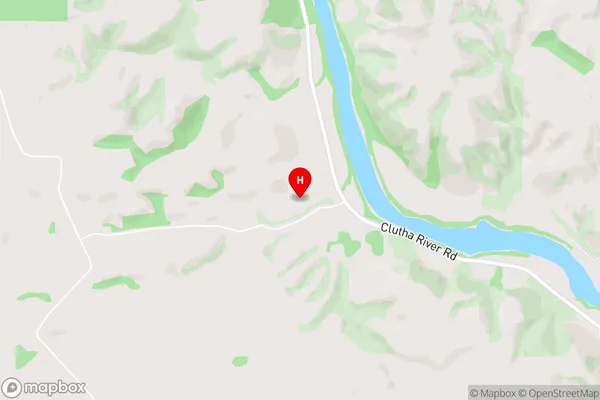
RongahereRongahere Area Map (Street)
Local Authority
Clutha DistrictFull Address
Rongahere, Clutha District, New ZealandAddress Type
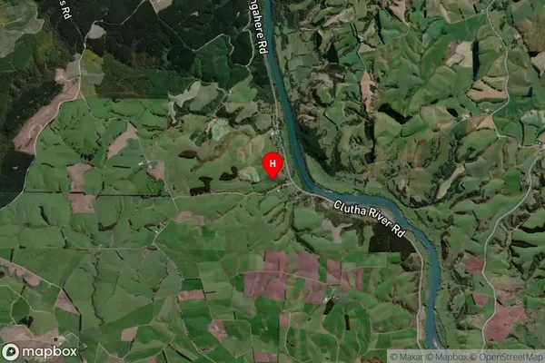
Locality in Major Locality ClydevaleRongahere Suburb Map (Satellite)
Country
Main Region in AU
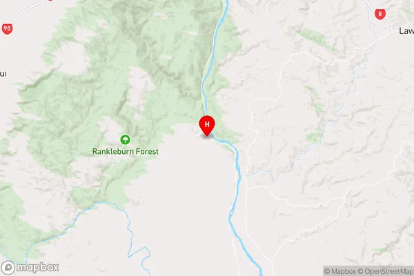
OtagoRongahere Region Map
Coordinates
-45.9872613,169.476863 (latitude/longitude)Distances
The distance from Rongahere, Clydevale, Clutha District to NZ Top 10 Cities