Te Houka Area, Te Houka Postcode & Map in Te Houka
Te Houka Area, Te Houka Postcode & Map in Te Houka, Clutha District, New Zealand
Te Houka, Clutha District, New Zealand
Te Houka Area (estimated)
91.8 square kilometersTe Houka Population (estimated)
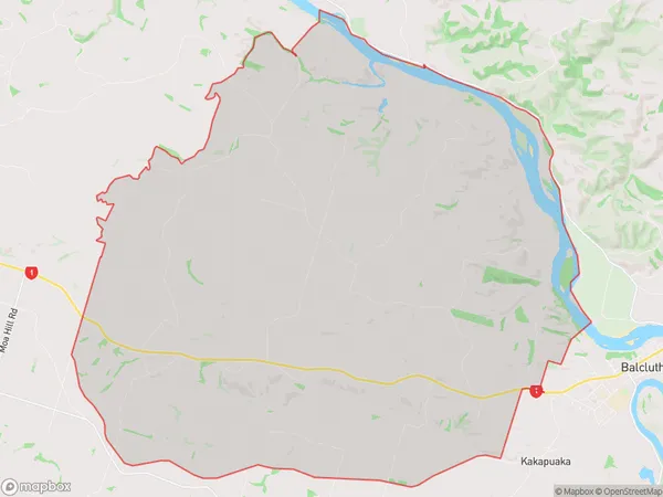
164 people live in Te Houka, Otago, NZTe Houka Suburb Area Map (Polygon)
Te Houka Introduction
Te Houka is a historic stone cottage located in Balclutha, Otago, New Zealand. It was built in 1860 for John McGregor, a Scottish settler, and is one of the oldest surviving buildings in the town. The cottage is a testament to the early settlement of the region and the hardships endured by the early pioneers. It is now a popular tourist attraction and is listed as a "Historic Place" by the New Zealand Historic Places Trust.Region
Major City
Suburb Name
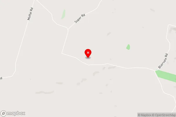
Te HoukaTe Houka Area Map (Street)
Local Authority
Clutha DistrictFull Address
Te Houka, Clutha District, New ZealandAddress Type
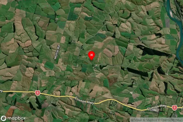
Locality in Town BalcluthaTe Houka Suburb Map (Satellite)
Country
Main Region in AU
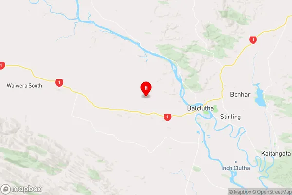
OtagoTe Houka Region Map
Coordinates
-46.2274065,169.6631426 (latitude/longitude)Distances
The distance from Te Houka, Balclutha, Clutha District to NZ Top 10 Cities