Otanomomo Area, Otanomomo Postcode & Map in Otanomomo
Otanomomo Area, Otanomomo Postcode & Map in Otanomomo, Clutha District, New Zealand
Otanomomo, Clutha District, New Zealand
Otanomomo Area (estimated)
27.1 square kilometersOtanomomo Population (estimated)
94 people live in Otanomomo, Otago, NZOtanomomo Suburb Area Map (Polygon)
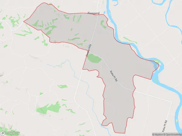
Otanomomo Introduction
Otanomomo is a small rural community in Balclutha, Otago, New Zealand. It is located on State Highway 1, approximately 12 km south of Balclutha and 162 km north of Dunedin. The community has a population of around 200 people and is known for its scenic surroundings and historic buildings. The Otanomomo River flows through the community, and there are several walking and cycling trails nearby. The area was first settled by Mori people in the 18th century, and the first European settlers arrived in the 19th century.Region
Major City
Suburb Name
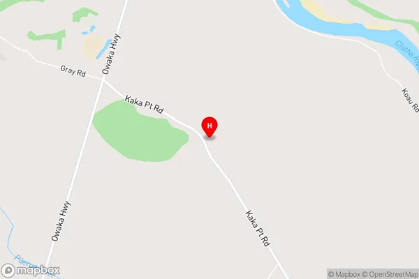
OtanomomoOtanomomo Area Map (Street)
Local Authority
Clutha DistrictFull Address
Otanomomo, Clutha District, New ZealandAddress Type
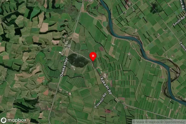
Locality in Town BalcluthaOtanomomo Suburb Map (Satellite)
Country
Main Region in AU
OtagoOtanomomo Region Map
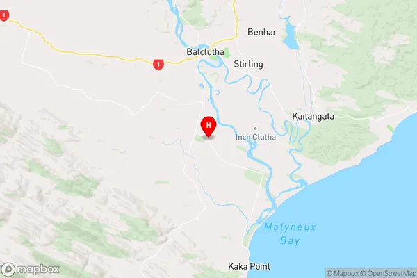
Coordinates
-46.2973205,169.7430595 (latitude/longitude)Distances
The distance from Otanomomo, Balclutha, Clutha District to NZ Top 10 Cities