Stony Creek Area, Stony Creek Postcode & Map in Stony Creek
Stony Creek Area, Stony Creek Postcode & Map in Stony Creek, Clutha District, New Zealand
Stony Creek, Clutha District, New Zealand
Stony Creek Area (estimated)
27.8 square kilometersStony Creek Population (estimated)
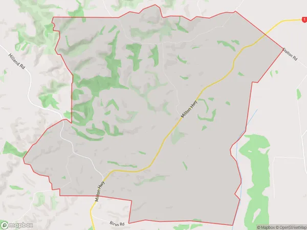
38 people live in Stony Creek, Otago, NZStony Creek Suburb Area Map (Polygon)
Stony Creek Introduction
Stony Creek is a small rural community in Balclutha, Otago, New Zealand. It is located on the banks of the Stony Creek River, approximately 10 kilometers south of Balclutha town center. The area is known for its scenic countryside, with rolling hills and farmland surrounding the village. Stony Creek has a primary school, a post office, a convenience store, and a community hall. The village also has a popular golf course and a sports club.Region
Major City
Suburb Name
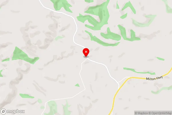
Stony CreekStony Creek Area Map (Street)
Local Authority
Clutha DistrictFull Address
Stony Creek, Clutha District, New ZealandAddress Type
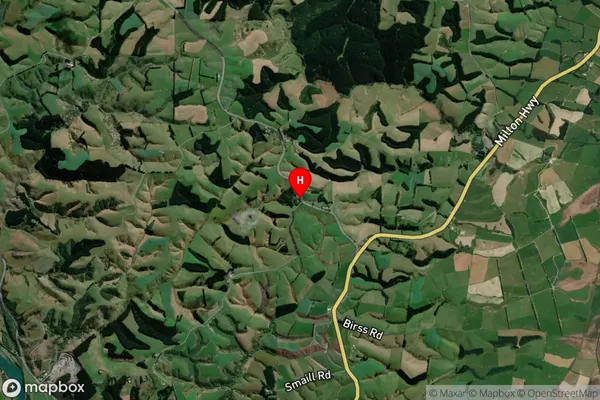
Locality in Town BalcluthaStony Creek Suburb Map (Satellite)
Country
Main Region in AU
OtagoStony Creek Region Map

Coordinates
-46.1922197,169.7616649 (latitude/longitude)Distances
The distance from Stony Creek, Balclutha, Clutha District to NZ Top 10 Cities