Kakapuaka Area, Kakapuaka Postcode(9230) & Map in Kakapuaka
Kakapuaka Area, Kakapuaka Postcode(9230) & Map in Kakapuaka, Clutha District, New Zealand
Kakapuaka, Clutha District, New Zealand
Kakapuaka Postcodes
Kakapuaka Area (estimated)
8.6 square kilometersKakapuaka Population (estimated)
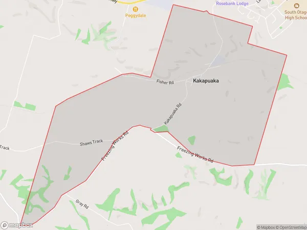
56 people live in Kakapuaka, Otago, NZKakapuaka Suburb Area Map (Polygon)
Kakapuaka Introduction
Kakapuaka is a small town in Balclutha, Otago, New Zealand. It is known for its beautiful beaches, stunning scenery, and friendly community. The town has a population of around 2,000 people and is located on the southern coast of the Otago Peninsula. Kakapuaka is a popular destination for tourists and locals alike, with many activities to enjoy, including hiking, fishing, and kayaking. The town also has a number of historic buildings, including the Kakapuaka Castle, which was built in the 1860s.Region
Major City
Suburb Name
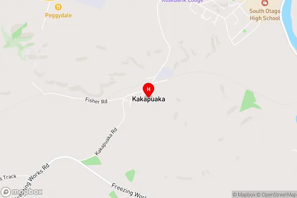
KakapuakaKakapuaka Area Map (Street)
Local Authority
Clutha DistrictFull Address
Kakapuaka, Clutha District, New ZealandAddress Type
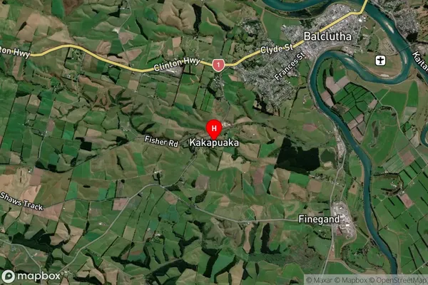
Locality in Town BalcluthaKakapuaka Suburb Map (Satellite)
Country
Main Region in AU
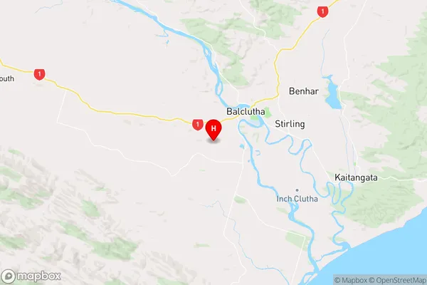
OtagoKakapuaka Region Map
Coordinates
-46.2584797,169.7088525 (latitude/longitude)Distances
The distance from Kakapuaka, Balclutha, Clutha District to NZ Top 10 Cities