Benhar Area, Benhar Postcode(9231) & Map in Benhar
Benhar Area, Benhar Postcode(9231) & Map in Benhar, Clutha District, New Zealand
Benhar, Clutha District, New Zealand
Benhar Postcodes
Benhar Area (estimated)
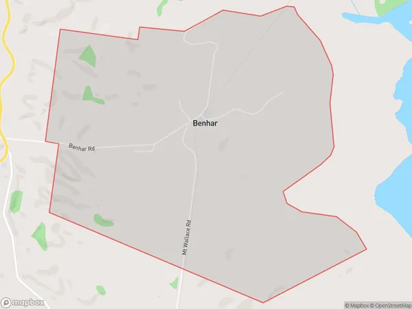
7.2 square kilometersBenhar Population (estimated)
113 people live in Benhar, Otago, NZBenhar Suburb Area Map (Polygon)
Benhar Introduction
Benhar is a small rural community in Balclutha, Otago, New Zealand. It is located on State Highway 1, approximately 20 kilometers south of Balclutha and 120 kilometers north of Dunedin. The community has a post office, a primary school, and a church. Benhar is known for its scenic surroundings, including the Benhar Glacier and the Benhar Mountains. The area is popular with outdoor enthusiasts and tourists, who enjoy hiking, skiing, and fishing in the nearby rivers and lakes.Region
Major City
Suburb Name
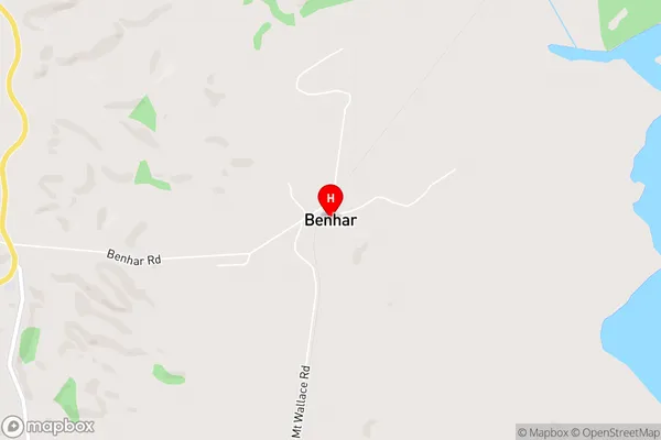
BenharBenhar Area Map (Street)
Local Authority
Clutha DistrictFull Address
Benhar, Clutha District, New ZealandAddress Type
Locality in Town BalcluthaBenhar Suburb Map (Satellite)

Country
Main Region in AU
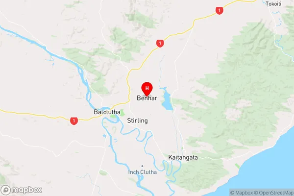
OtagoBenhar Region Map
Coordinates
-46.2242527,169.7959438 (latitude/longitude)Distances
The distance from Benhar, Balclutha, Clutha District to NZ Top 10 Cities