Finegand Area, Finegand Postcode(9230) & Map in Finegand
Finegand Area, Finegand Postcode(9230) & Map in Finegand, Clutha District, New Zealand
Finegand, Clutha District, New Zealand
Finegand Postcodes
Finegand Area (estimated)
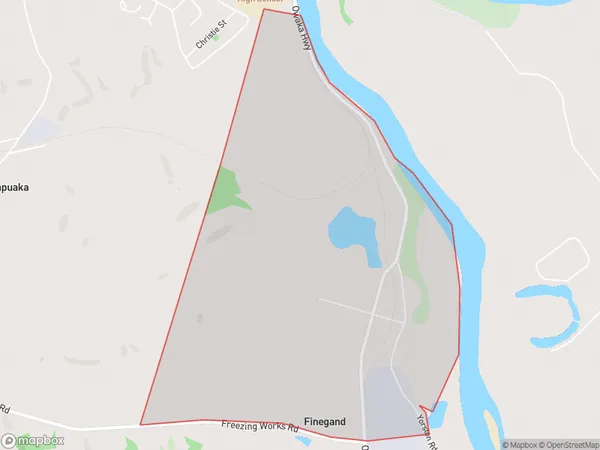
3.8 square kilometersFinegand Population (estimated)
29 people live in Finegand, Otago, NZFinegand Suburb Area Map (Polygon)
Finegand Introduction
Finegand is a small rural community in Balclutha, Otago, New Zealand. It is located on the banks of the Clutha River, approximately 10 kilometers south of Balclutha town. The area was first settled in the 1860s by Scottish and Irish immigrants and has a rich history of farming and forestry. Today, Finegand is a popular tourist destination, with many visitors coming to explore the historic buildings and scenic surroundings. The community also has a primary school, a post office, and a small supermarket.Region
Major City
Suburb Name
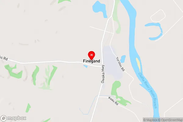
FinegandFinegand Area Map (Street)
Local Authority
Clutha DistrictFull Address
Finegand, Clutha District, New ZealandAddress Type
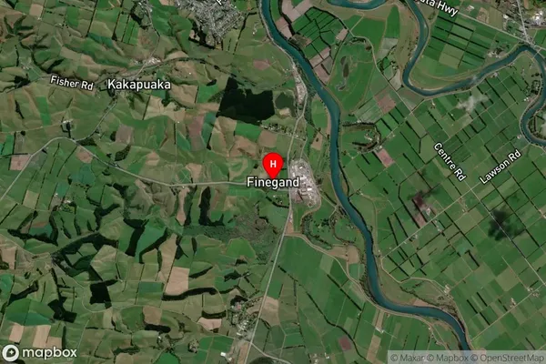
Locality in Town BalcluthaFinegand Suburb Map (Satellite)
Country
Main Region in AU
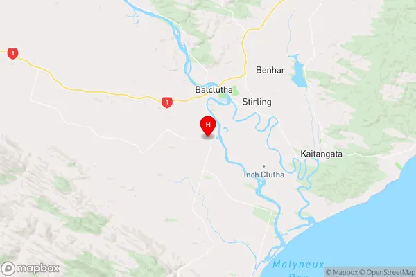
OtagoFinegand Region Map
Coordinates
-46.2712279,169.7341331 (latitude/longitude)Distances
The distance from Finegand, Balclutha, Clutha District to NZ Top 10 Cities