Hillend Suburbs & Region, Hillend Map & Postcodes in Hillend, Balclutha, Otago
Hillend Postcodes, Hillend ZipCodes, Hillend , Hillend Otago, Hillend Suburbs, Hillend Region, Hillend Map, Hillend Area
Hillend Region (Mount Stuart, Mt Stuart, Pukekoma Region)
Hillend Suburbs
Hillend is a suburb place type in Balclutha, Otago, NZ. It contains 0 suburbs or localities.Hillend Postcodes
Hillend district
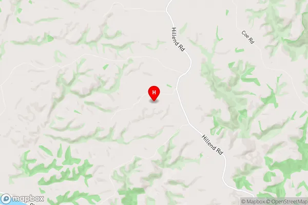
CluthaHillend Region Map
Hillend Introduction
Hillend is a small rural community in Otago, New Zealand, located on the banks of the Clutha River. It is known for its picturesque scenery, including rolling hills, lush green fields, and stunning views of the surrounding mountains. The community has a population of around 300 people and is home to a variety of businesses, including a hotel, a convenience store, and a post office. Hillend is also a popular destination for outdoor enthusiasts, with many walking and hiking trails nearby. The area is rich in history, with several historic buildings and sites, including the Hillend Stone Church, which was built in 1875.Hillend Region
Hillend City
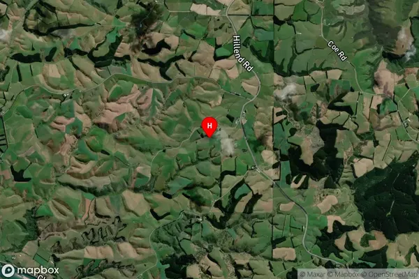
Hillend Satellite Map
Full Address
Hillend, Balclutha, OtagoHillend Coordinates
-46.162427,169.724598 (Latitude / Longitude)Hillend Map in NZ

NZ Island
South IslandCountry
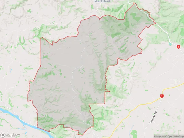
Hillend Area Map (Polygon)
Name
HillendAdditional Name
Mount Stuart, Mt Stuart, PukekomaLocal Authority
Clutha District
Hillend Suburbs (Sort by Population)
Hillend also known as Mount Stuart, Mt Stuart, Pukekoma. Hillend suburb has around
123.4 square
kilometers.There are more than 127 people (estimated)
live in Hillend, Balclutha, Otago, New Zealand.