Selwyn Suburbs & Region, Selwyn Map & Postcodes in Selwyn, Canterbury
Selwyn Postcodes, Selwyn ZipCodes, Selwyn , Selwyn Canterbury, Selwyn Suburbs, Selwyn Region, Selwyn Map, Selwyn Area
Selwyn Region
Selwyn Suburbs
Selwyn is a district place type in Canterbury, NZ. It contains 29 suburbs or localities.Selwyn district
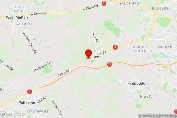
SelwynSelwyn Region Map
Selwyn Introduction
Selwyn is a district in Canterbury, New Zealand, with a population of around 150,000 people. It is located in the southern part of the Canterbury Plains and is known for its fertile farmland, picturesque rural landscapes, and historic towns. The district includes the cities of Rolleston, Lincoln, and Darfield, as well as several smaller settlements and rural communities. Selwyn is a popular destination for outdoor enthusiasts, with numerous parks, reserves, and recreational facilities, including the Selwyn District Council-owned Selwyn Aquatic Centre and the Rolleston Golf Club. The district is also home to a number of important historical sites, including the Selwyn Castle, which is a former royal residence, and the Waihora Springs, which are renowned for their healing thermal waters.Selwyn Region
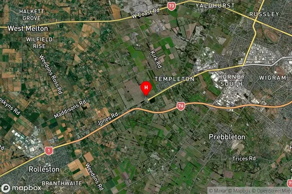
Selwyn Satellite Map
Full Address
Selwyn, CanterburySelwyn Coordinates
-43.559631,172.456997 (Latitude / Longitude)Selwyn Map in NZ
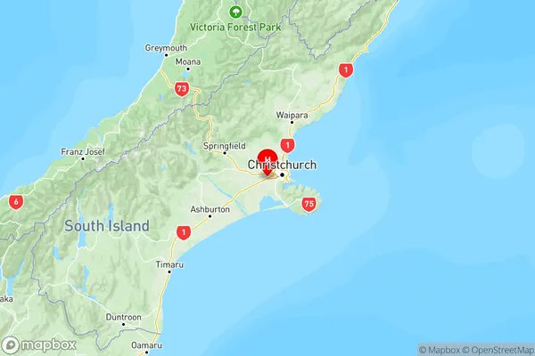
NZ Island
South IslandCountry
Selwyn Suburbs (Sort by Population)
Selwyn Suburbs (Sort in alphabetical)
Arthur's Pass
Burnham
Castle Hill
Coalgate
Craigieburn
Darfield
Doyleston
Dunsandel
Glentunnel
Hororata
Kirwee
Lake Coleridge
Lake Pearson
Lansdowne
Leeston
Lincoln
Malvern Hills
Motukarara
Prebbleton
Rolleston
Sheffield
Southbridge
Springfield
Springston
Tai Tapu
Waddington
Weedons
West Melton
Windwhistle