Dunsandel Suburbs & Region, Dunsandel Map & Postcodes in Dunsandel, Selwyn, Canterbury
Dunsandel Postcodes, Dunsandel ZipCodes, Dunsandel , Dunsandel Canterbury, Dunsandel Suburbs, Dunsandel Region, Dunsandel Map, Dunsandel Area
Dunsandel Region
Dunsandel Suburbs
Dunsandel is a suburb place type in Selwyn, Canterbury, NZ. It contains 1 suburbs or localities.Dunsandel district
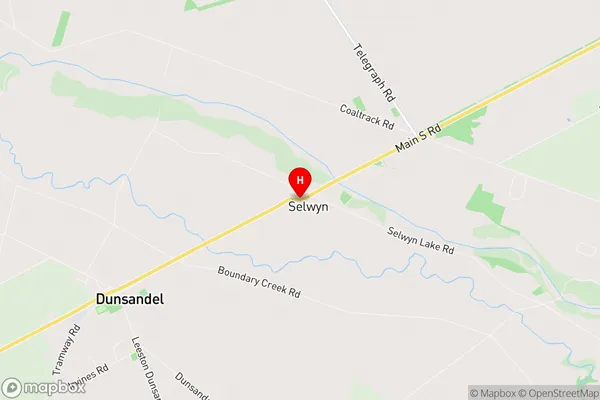
SelwynDunsandel Region Map
Dunsandel Introduction
Dunsandel is a small town in Canterbury, New Zealand, located on the banks of the Waimakariri River. It is known for its picturesque rural setting, with rolling hills and farmland surrounding the town. The town has a population of around 1,000 people and is a popular destination for tourists who enjoy outdoor activities such as hiking, cycling, and fishing. The town also has a historic church, a primary school, and a small supermarket. Dunsandel is located approximately 30 minutes from Christchurch and is accessible by road.Dunsandel Region
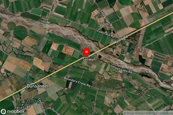
Dunsandel Satellite Map
Full Address
Dunsandel, Selwyn, CanterburyDunsandel Coordinates
-43.648714,172.226327 (Latitude / Longitude)Dunsandel Map in NZ
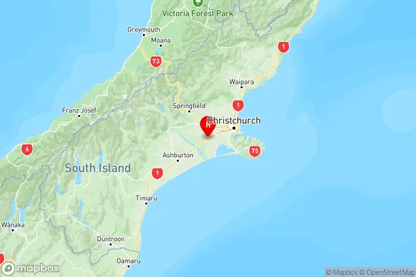
NZ Island
South IslandCountry
Dunsandel Suburbs (Sort by Population)
Dunsandel
Dunsandel - 1136