Dunsandel Area, Dunsandel Postcode(7682) & Map in Dunsandel
Dunsandel Area, Dunsandel Postcode(7682) & Map in Dunsandel, Selwyn District, New Zealand
Dunsandel, Selwyn District, New Zealand
Dunsandel Area (estimated)
137.0 square kilometersDunsandel Population (estimated)
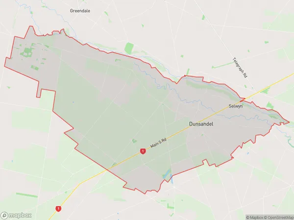
1136 people live in Dunsandel, Canterbury, NZDunsandel Suburb Area Map (Polygon)
Dunsandel Introduction
Dunsandel is a small town in Canterbury, New Zealand, located on the banks of the Waimakariri River. It is known for its fertile farmland and historic buildings, including the Dunsandel School and St Paul's Anglican Church. The town has a population of around 1,000 people and is a popular destination for tourists and outdoor enthusiasts.Region
0Suburb Name
DunsandelOther Name(s)
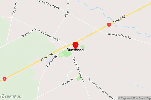
SelwynDunsandel Area Map (Street)
Local Authority
Selwyn DistrictFull Address
Dunsandel, Selwyn District, New ZealandAddress Type
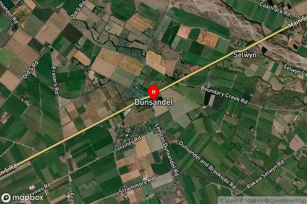
Locality in Town DunsandelDunsandel Suburb Map (Satellite)
Country
Main Region in AU
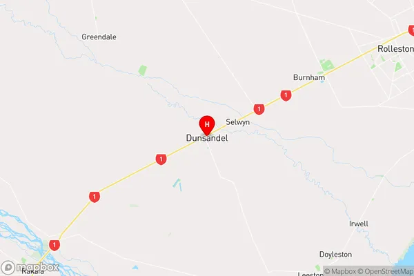
CanterburyDunsandel Region Map
Coordinates
-43.6610056,172.197083 (latitude/longitude)Distances
The distance from Dunsandel, Dunsandel, Selwyn District to NZ Top 10 Cities