Tai Tapu Suburbs & Region, Tai Tapu Map & Postcodes in Tai Tapu, Selwyn, Canterbury
Tai Tapu Postcodes, Tai Tapu ZipCodes, Tai Tapu , Tai Tapu Canterbury, Tai Tapu Suburbs, Tai Tapu Region, Tai Tapu Map, Tai Tapu Area
Tai Tapu Region
Tai Tapu Suburbs
Tai Tapu is a suburb place type in Selwyn, Canterbury, NZ. It contains 4 suburbs or localities.Tai Tapu Postcodes
Tai Tapu district
SelwynTai Tapu Introduction
Tai Tapu is a sacred site in Christchurch, New Zealand, that holds significant cultural and historical importance to the local Māori people. It is known for its stunning natural beauty, including a large lake, rolling hills, and ancient trees. The site has a rich history, with evidence of human settlement dating back thousands of years. It was also the site of a significant battle during the New Zealand Wars in 1864. Today, Tai Tapu is a popular tourist destination and a place of pilgrimage for Māori people. It is managed by the Department of Conservation and is considered one of New Zealand's most important cultural sites.Tai Tapu Region
Tai Tapu City
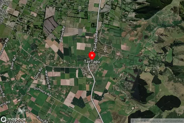
Tai Tapu Satellite Map

Full Address
Tai Tapu, Selwyn, CanterburyTai Tapu Coordinates
-43.659599,172.550233 (Latitude / Longitude)Tai Tapu Map in NZ

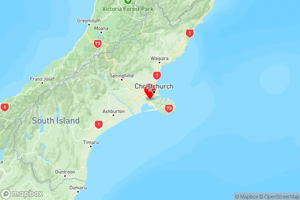
NZ Island
South IslandCountry
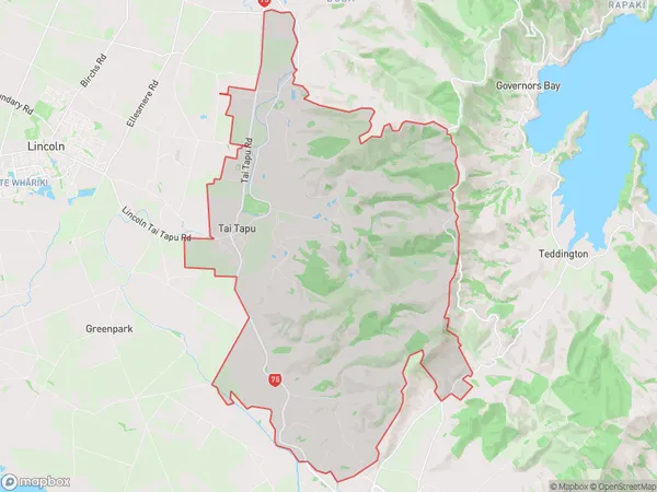
Tai Tapu Area Map (Polygon)

Name
Tai TapuAdditional Name
Local Authority
Selwyn District
Tai Tapu Suburbs (Sort by Population)
Tai Tapu
Tai Tapu - 1437Motukarara
Motukarara - 278Gebbies Valley
Gebbies Valley - 146Ataahua
Ataahua - 98
