Gebbies Valley Area, Gebbies Valley Postcode(8011) & Map in Gebbies Valley
Gebbies Valley Area, Gebbies Valley Postcode(8011) & Map in Gebbies Valley, Christchurch City, New Zealand
Gebbies Valley, Christchurch City, New Zealand
Gebbies Valley Postcodes
Gebbies Valley Area (estimated)
33.8 square kilometersGebbies Valley Population (estimated)
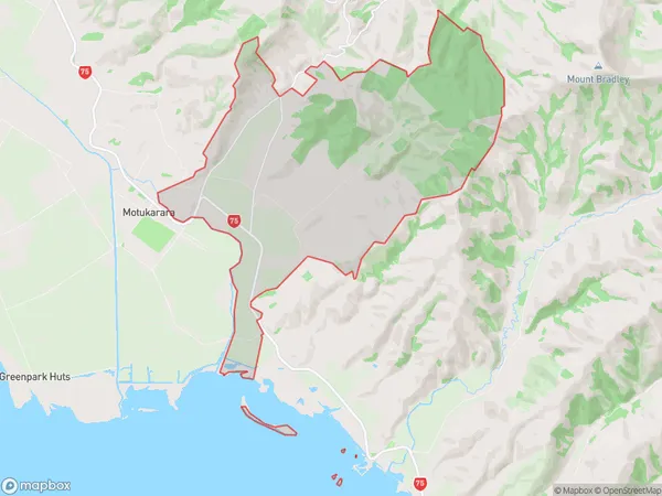
146 people live in Gebbies Valley, Banks Peninsula Community, NZGebbies Valley Suburb Area Map (Polygon)
Gebbies Valley Introduction
Gebbies Valley is a picturesque rural community located in Tai Tapu, Canterbury, New Zealand. It is known for its stunning natural landscapes, including rolling hills, lush green valleys, and picturesque rivers. The area is popular with outdoor enthusiasts, with many opportunities for hiking, biking, and fishing. The community has a strong sense of community and a variety of amenities, including a local school, a community hall, and a convenience store. Gebbies Valley is a tranquil and welcoming place to live, with a peaceful and laid-back atmosphere.Region
Major City
Suburb Name
Gebbies ValleyOther Name(s)
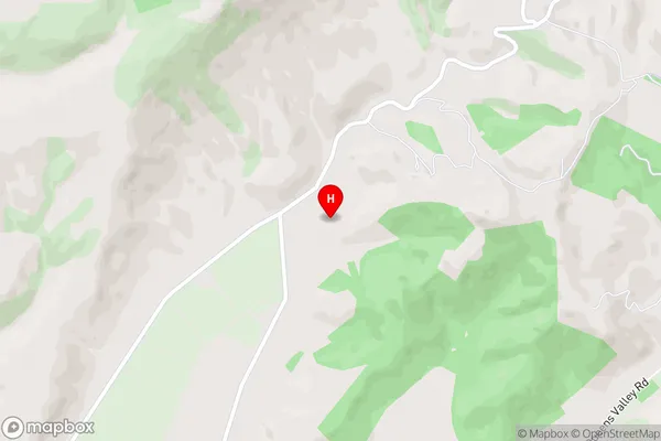
Gebbes ValleyGebbies Valley Area Map (Street)
Local Authority
Christchurch CityFull Address
Gebbies Valley, Christchurch City, New ZealandAddress Type
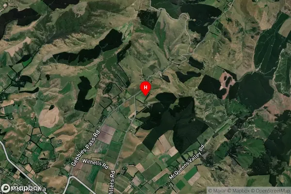
Locality in Town Tai TapuGebbies Valley Suburb Map (Satellite)
Country
Main Region in AU
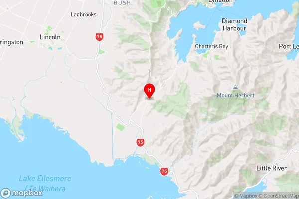
CanterburyGebbies Valley Region Map
Coordinates
-43.701931,172.6229211 (latitude/longitude)Distances
The distance from Gebbies Valley, Tai Tapu, Christchurch City to NZ Top 10 Cities