Motukarara Area, Motukarara Postcode(7672) & Map in Motukarara
Motukarara Area, Motukarara Postcode(7672) & Map in Motukarara, Selwyn District, New Zealand
Motukarara, Selwyn District, New Zealand
Motukarara Postcodes
Motukarara Area (estimated)
41.6 square kilometersMotukarara Population (estimated)
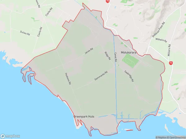
278 people live in Motukarara, Canterbury, NZMotukarara Suburb Area Map (Polygon)
Motukarara Introduction
Motukarara is a small rural community located in Tai Tapu, Canterbury, New Zealand. It is known for its picturesque rural setting, stunning views of the surrounding countryside, and friendly community. The area is home to a variety of wildlife, including birds, rabbits, and deer, and is popular with outdoor enthusiasts and nature lovers. The community has a primary school, a post office, and a small supermarket, and is surrounded by picturesque farmland and rolling hills.Region
Major City
Suburb Name
MotukararaOther Name(s)
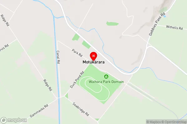
Greenpark HutsMotukarara Area Map (Street)
Local Authority
Selwyn DistrictFull Address
Motukarara, Selwyn District, New ZealandAddress Type
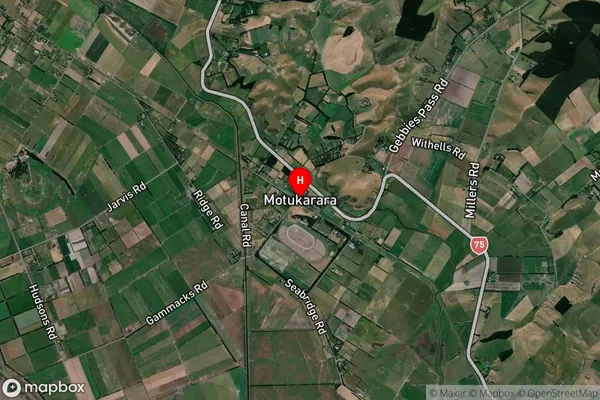
Locality in Town Tai TapuMotukarara Suburb Map (Satellite)
Country
Main Region in AU
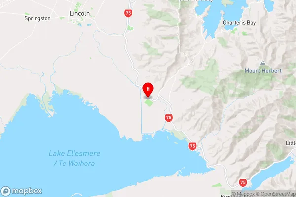
CanterburyMotukarara Region Map
Coordinates
-43.7254336,172.5813706 (latitude/longitude)Distances
The distance from Motukarara, Tai Tapu, Selwyn District to NZ Top 10 Cities