Rolleston Suburbs & Region, Rolleston Map & Postcodes in Rolleston, Selwyn, Canterbury
Rolleston Postcodes, Rolleston ZipCodes, Rolleston , Rolleston Canterbury, Rolleston Suburbs, Rolleston Region, Rolleston Map, Rolleston Area
Rolleston Region
Rolleston Suburbs
Rolleston is a suburb place type in Selwyn, Canterbury, NZ. It contains 0 suburbs or localities.Rolleston district
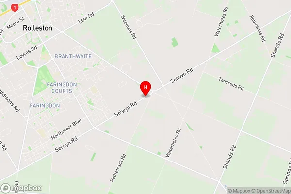
SelwynRolleston Region Map
Rolleston Introduction
Rolleston is a town in Canterbury, New Zealand, located 15 km south of Christchurch. It is known for its historic buildings, including the Rolleston Castle, and for its coal mining heritage. The town has a population of around 4,500 people and is surrounded by picturesque countryside. Rolleston is also home to a number of industries, including manufacturing and agriculture.Rolleston Region
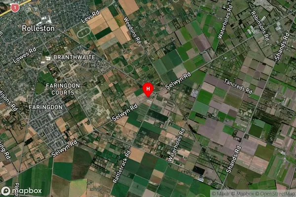
Rolleston Satellite Map
Full Address
Rolleston, Selwyn, CanterburyRolleston Coordinates
-43.6143709,172.4232276 (Latitude / Longitude)Rolleston Map in NZ
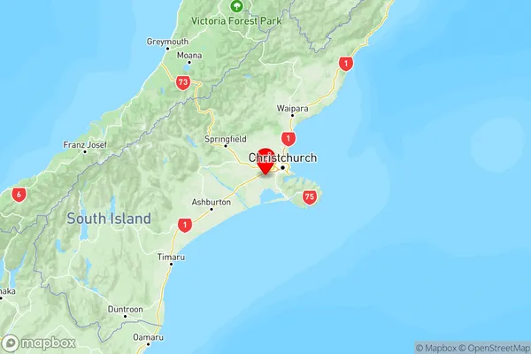
NZ Island
South IslandCountry