Rolleston Area, Rolleston Postcode(7643) & Map in Rolleston
Rolleston Area, Rolleston Postcode(7643) & Map in Rolleston, Selwyn District, New Zealand
Rolleston, Selwyn District, New Zealand
Rolleston Area (estimated)
112.4 square kilometersRolleston Population (estimated)
30781 people live in Rolleston, Canterbury, NZRolleston Suburb Area Map (Polygon)
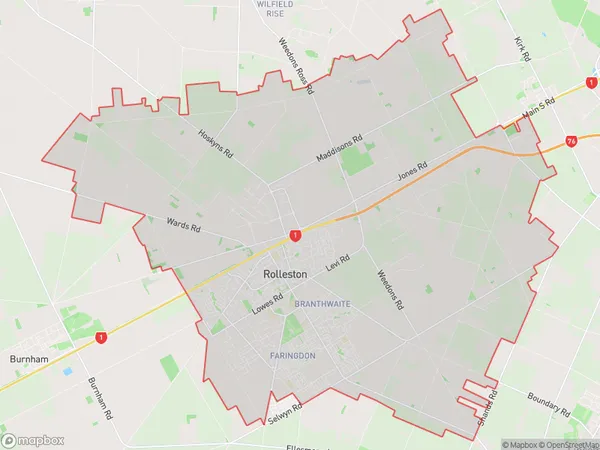
Rolleston Introduction
Rolleston is a town in Canterbury, New Zealand, located 15 km south of Christchurch. It is known for its coal mining heritage and has a population of around 40,000 people. The town has a variety of recreational facilities, including a golf course, a swimming pool, and a sports stadium. Rolleston also has a strong education sector, with a primary school, a secondary school, and a tertiary institution.Region
0Suburb Name
RollestonOther Name(s)
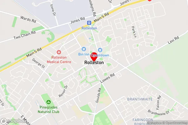
Sandy Knolls, WeedonsRolleston Area Map (Street)
Local Authority
Selwyn DistrictFull Address
Rolleston, Selwyn District, New ZealandAddress Type
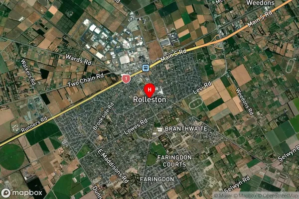
Suburb in Town RollestonRolleston Suburb Map (Satellite)
Country
Main Region in AU
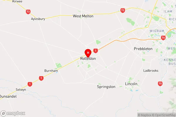
CanterburyRolleston Region Map
Coordinates
-43.5966504,172.3850047 (latitude/longitude)Distances
The distance from Rolleston, Rolleston, Selwyn District to NZ Top 10 Cities