Leeston Suburbs & Region, Leeston Map & Postcodes in Leeston, Selwyn, Canterbury
Leeston Postcodes, Leeston ZipCodes, Leeston , Leeston Canterbury, Leeston Suburbs, Leeston Region, Leeston Map, Leeston Area
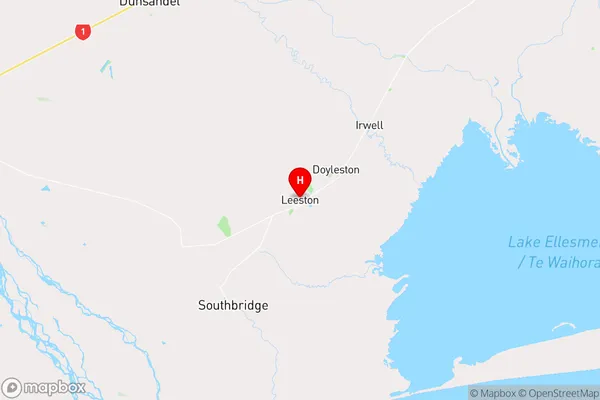
Leeston Region (Brookside, Irwell, Killinchy, Lakeside Region)
Leeston Suburbs
Leeston is a city place type in Selwyn, Canterbury, NZ. It contains 1 suburbs or localities.Leeston district
SelwynLeeston Region Map
Leeston Introduction
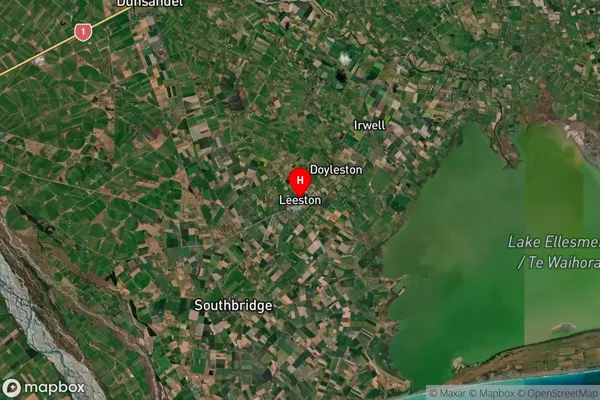
Leeston is a small town in Canterbury, New Zealand, located on the banks of the Rakaia River. It is known for its agricultural industry, with a large number of farms producing wheat, sheep, and dairy products. The town has a population of around 3,500 people and is home to a number of historic buildings, including the Leeston War Memorial Hall and the Leeston Library. Leeston also has a popular sports club, the Leeston RFC, which competes in the Canterbury Rugby Union competition.Leeston Region
Leeston Satellite Map
Full Address
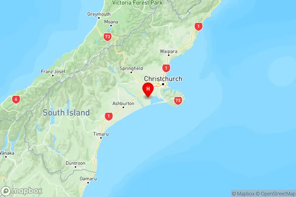
Leeston, Selwyn, CanterburyLeeston Coordinates
-43.759781,172.300337 (Latitude / Longitude)Leeston Map in NZ
NZ Island
South IslandCountry
Leeston Area Map (Polygon)
Not available for nowName
LeestonAdditional Name
Brookside, Irwell, Killinchy, LakesideLocal Authority
Selwyn District
Leeston Suburbs (Sort by Population)
Leeston
Leeston - 4024
Leeston Suburbs (Sort in alphabetical)
Te Pirita