Leeston Area, Leeston Postcode(7632) & Map in Leeston
Leeston Area, Leeston Postcode(7632) & Map in Leeston, Selwyn District, New Zealand
Leeston, Selwyn District, New Zealand
Leeston Area (estimated)
-1.2 square kilometersLeeston Population (estimated)
4024 people live in Leeston, Canterbury, NZLeeston Suburb Area Map (Polygon)
Not available for nowLeeston Introduction
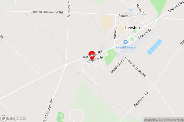
Leeston is a small town in Canterbury, New Zealand, located on the banks of the Leeston River. It is known for its historic buildings, including the Leeston Railway Station, which is listed as a "Category I" historic place by Heritage New Zealand. The town has a population of around 10,000 people and is a popular destination for tourists and commuters alike.Region
Major City
Suburb Name
LeestonOther Name(s)
Brookside, Irwell, Killinchy, LakesideLeeston Area Map (Street)
Local Authority
Selwyn DistrictFull Address
Leeston, Selwyn District, New ZealandAddress Type
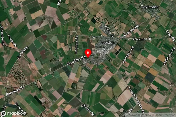
Suburb in Town LeestonLeeston Suburb Map (Satellite)
Country
Main Region in AU
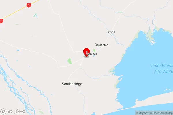
CanterburyLeeston Region Map
Coordinates
-43.76656,172.28901 (latitude/longitude)Distances
The distance from Leeston, Leeston, Selwyn District to NZ Top 10 Cities