Te Pirita Suburbs & Region, Te Pirita Map & Postcodes in Te Pirita, Leeston, Canterbury
Te Pirita Postcodes, Te Pirita ZipCodes, Te Pirita , Te Pirita Canterbury, Te Pirita Suburbs, Te Pirita Region, Te Pirita Map, Te Pirita Area
Te Pirita Region (Malvern Hills, Te Pirita Region)
Te Pirita Suburbs
Te Pirita is a suburb place type in Leeston, Canterbury, NZ. It contains 0 suburbs or localities.Te Pirita Postcodes
Te Pirita district
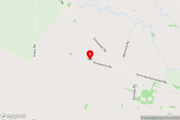
SelwynTe Pirita Region Map
Te Pirita Introduction
Te Pirita, located in Christchurch, New Zealand, is a significant cultural and spiritual site for the local Māori people. It is known for its stunning coastal views, historic buildings, and important cultural landmarks. The area was once the site of a large Māori settlement and is now home to a thriving community of Māori and other New Zealanders. Te Pirita is also a popular tourist destination, with visitors coming to explore its cultural heritage, learn about Māori traditions, and enjoy the beautiful natural surroundings.Te Pirita Region
Te Pirita City
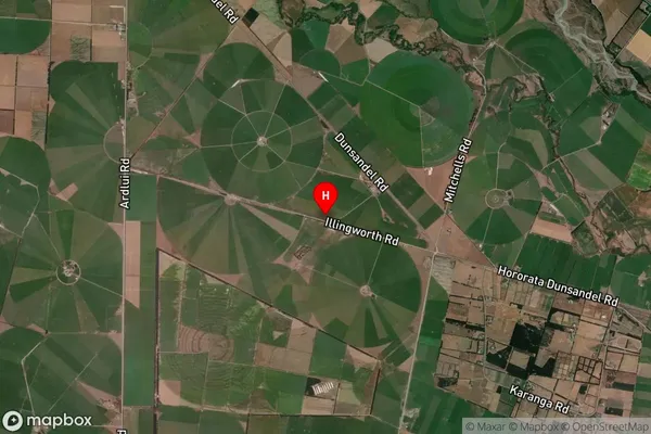
Te Pirita Satellite Map
Full Address
Te Pirita, Leeston, CanterburyTe Pirita Coordinates
-43.599783,172.010558 (Latitude / Longitude)Te Pirita Map in NZ
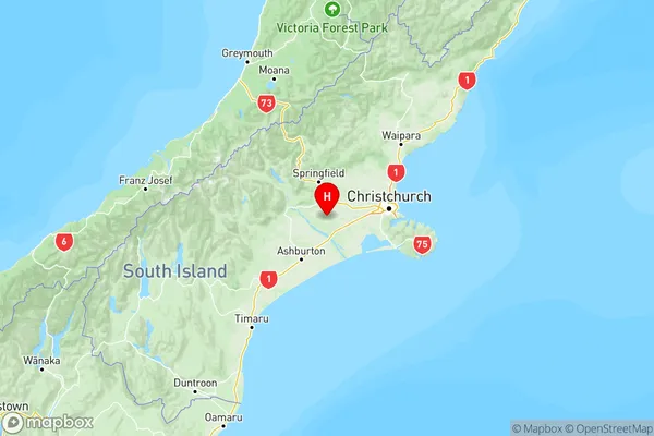
NZ Island
South IslandCountry
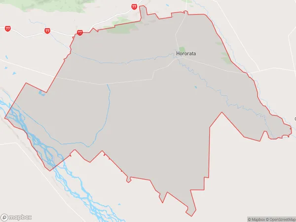
Te Pirita Area Map (Polygon)
Name
HororataAdditional Name
Malvern Hills, Te PiritaLocal Authority
Selwyn District
Te Pirita Suburbs (Sort by Population)
Hororata also known as Malvern Hills, Te Pirita. Hororata suburb has around
287.3 square
kilometers.There are more than 1093 people (estimated)
live in Hororata, Leeston, Canterbury, New Zealand.