Hororata Area, Hororata Postcode(7572) & Map in Hororata
Hororata Area, Hororata Postcode(7572) & Map in Hororata, Selwyn District, New Zealand
Hororata, Selwyn District, New Zealand
Hororata Area (estimated)
287.3 square kilometersHororata Population (estimated)
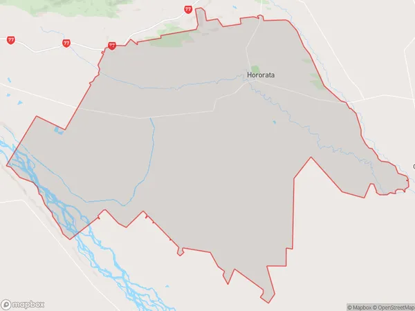
1093 people live in Hororata, Canterbury, NZHororata Suburb Area Map (Polygon)
Hororata Introduction
Hororata is a small rural community in Canterbury, New Zealand, located in the Ashburton District. It is known for its picturesque rural scenery, including rolling hills, farmland, and the Hororata River. The community has a population of around 100 people and is home to a variety of businesses, including a hotel, a convenience store, and a farm supply store. Hororata is also a popular destination for outdoor enthusiasts, with nearby hiking and cycling trails and a golf course.Region
0Suburb Name
HororataOther Name(s)
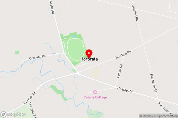
Malvern Hills, Te PiritaHororata Area Map (Street)
Local Authority
Selwyn DistrictFull Address
Hororata, Selwyn District, New ZealandAddress Type
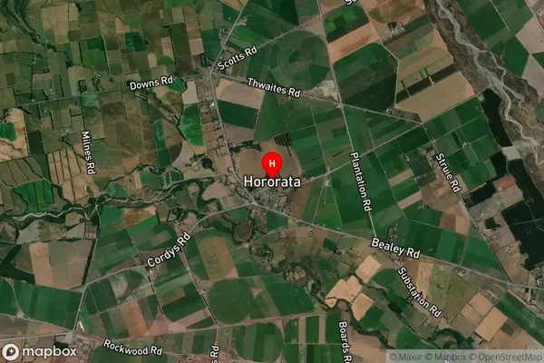
Locality in Town HororataHororata Suburb Map (Satellite)
Country
Main Region in AU
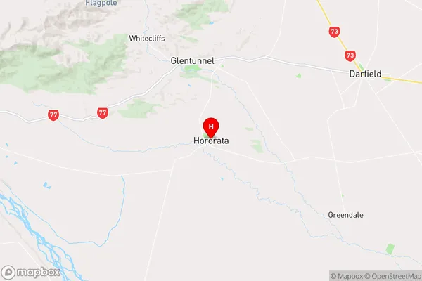
CanterburyHororata Region Map
Coordinates
-43.5354648,171.9580597 (latitude/longitude)Distances
The distance from Hororata, Hororata, Selwyn District to NZ Top 10 Cities