Coalgate Suburbs & Region, Coalgate Map & Postcodes in Coalgate, Selwyn, Canterbury
Coalgate Postcodes, Coalgate ZipCodes, Coalgate , Coalgate Canterbury, Coalgate Suburbs, Coalgate Region, Coalgate Map, Coalgate Area
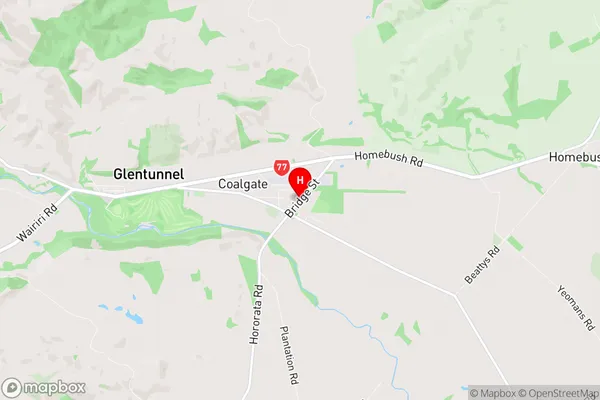
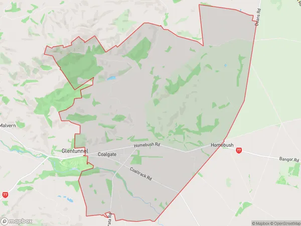
Coalgate Region (Homebush Region)
Coalgate Suburbs
Coalgate is a suburb place type in Selwyn, Canterbury, NZ. It contains 1 suburbs or localities.Coalgate Postcodes
Coalgate district
SelwynCoalgate Region Map
Coalgate Introduction
Coalgate is a small town located in the Canterbury region of New Zealand, approximately 35 kilometers southeast of Christchurch. It is known for its coal mining industry, which played a significant role in the town's economy during the 19th and 20th centuries. The town has a population of around 3,000 people and is surrounded by picturesque countryside. Coalgate has a variety of recreational facilities, including a golf course, a swimming pool, and a sports complex. The town also has a historic coal mining museum, which showcases the area's rich mining heritage.Coalgate Region
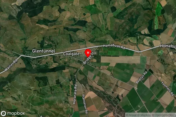
Coalgate Satellite Map
Full Address
Coalgate, Selwyn, CanterburyCoalgate Coordinates
-43.4820904,171.9659713 (Latitude / Longitude)Coalgate Map in NZ
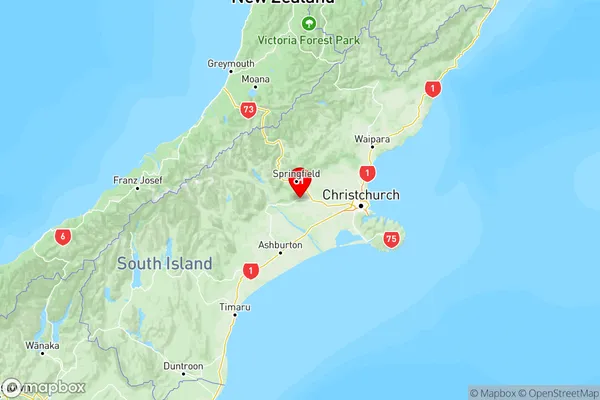
NZ Island
South IslandCountry
Coalgate Area Map (Polygon)
Name
CoalgateAdditional Name
HomebushLocal Authority
Selwyn District
Coalgate Suburbs (Sort by Population)
Coalgate
Coalgate - 498