Coalgate Area, Coalgate Postcode(7673) & Map in Coalgate
Coalgate Area, Coalgate Postcode(7673) & Map in Coalgate, Selwyn District, New Zealand
Coalgate, Selwyn District, New Zealand
Coalgate Area (estimated)
55.3 square kilometersCoalgate Population (estimated)
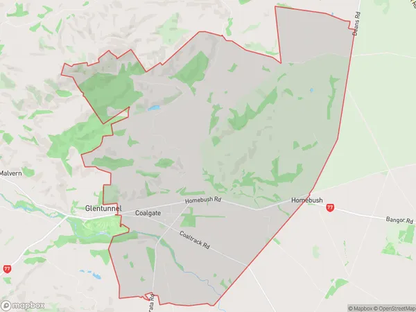
498 people live in Coalgate, Canterbury, NZCoalgate Suburb Area Map (Polygon)
Coalgate Introduction
Coalgate is a small town in Canterbury, New Zealand, located on the banks of the Ashburton River. It was established in the 1850s and was once a significant coal-mining center. The town has a population of around 3,000 people and is known for its historic coal-mining heritage and picturesque surroundings.Region
0Suburb Name
CoalgateOther Name(s)
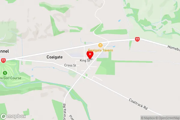
HomebushCoalgate Area Map (Street)
Local Authority
Selwyn DistrictFull Address
Coalgate, Selwyn District, New ZealandAddress Type
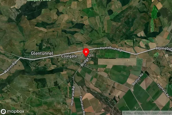
Locality in Major Locality CoalgateCoalgate Suburb Map (Satellite)
Country
Main Region in AU
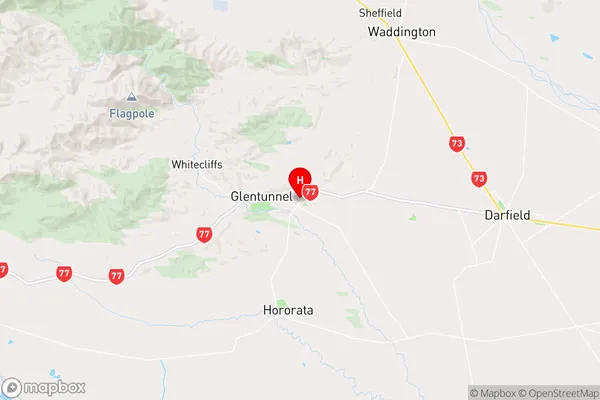
CanterburyCoalgate Region Map
Coordinates
-43.4806968,171.9663009 (latitude/longitude)Distances
The distance from Coalgate, Coalgate, Selwyn District to NZ Top 10 Cities